Fraud Blocker Skip to main content

Poster Print > Fine Art Storehouse > Map > USA Maps

USA Maps Poster Print Collection

A collection of highly detailed United States maps including antique engravings, reference, road and streets, illustrations and satellite maps

Choose a picture from our USA Maps Poster Print Collection for your Wall Art and Photo Gifts

Officially the United States of America (abbreviated to America, USA or US), the physical environment of the USA ranges from the Arctic to the subtropical, from the moist rain forest to the arid desert, from the rugged mountain peak to the flat prairie.

799 Poster Prints

We are proud to offer this selection in partnership with Fine Art Storehouse

USA Maps Poster Print Collection: USA Southern States Historical Maps

USA Southern States Historical Maps Collection
27 Poster Prints

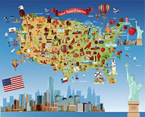
Background imageUSA Maps Poster Print Collection: USA Map - illustration

USA Map - illustration
Colored Map of the United States

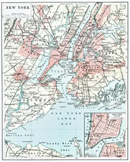
Background imageUSA Maps Poster Print Collection: Map of New York city 1896

Map of New York city 1896
Ilustration of a Map of New York city 1896

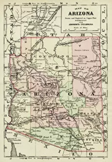
Background imageUSA Maps Poster Print Collection: Arizona map 1893

Arizona map 1893
Johnsonas Universal Cyclopedia - Charles Kendall - New York 1893

Background imageUSA Maps Poster Print Collection: Cartoon map of USA

Cartoon map of USA

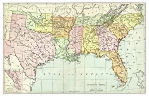
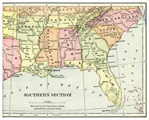
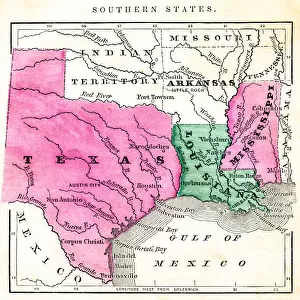
Background imageUSA Maps Poster Print Collection: Map of Southern States USA 1895

Map of Southern States USA 1895
The Rand-McNally Grammar School Geography 1895 - Chicago & New York

Background imageUSA Maps Poster Print Collection: Highly detailed USA Road Map

Highly detailed USA Road Map
Highly detailed map of United States with roads, states, big cities, rivers and some other objects

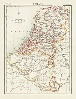
Background imageUSA Maps Poster Print Collection: Holland map 1881

Holland map 1881
Encyclopedia Britannica 9th Edition Vol XII Philadelphia j.M. Stoddart & Co 1881

Background imageUSA Maps Poster Print Collection: Huntingdon and Cambridge map 1881

Huntingdon and Cambridge map 1881
Encyclopedia Britannica 9th Edition Vol XII Philadelphia j.M. Stoddart & Co 1881

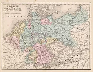
Background imageUSA Maps Poster Print Collection: Prussia and german states map 1867

Prussia and german states map 1867
Mitchellas Modern Atlas - Published by E.H. Butler and Co - Philadelphia 1867

Background imageUSA Maps Poster Print Collection: Map of Arizona, USA highways, major roads, and rivers

Map of Arizona, USA highways, major roads, and rivers
Vector illustration of map fo Arizona with major roads, rivers and lakes

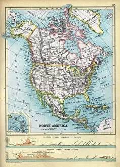
Background imageUSA Maps Poster Print Collection: Old Map of North America, Cross section of Canada and USA, 1890s, 19th Century

Old Map of North America, Cross section of Canada and USA, 1890s, 19th Century
Vintage illustration Old Map of North America, Cross section of Canada and USA, 1890s, 19th Century

Background imageUSA Maps Poster Print Collection: Old Sketch chart of the North Atlantic on Mercator projection, Shipping routes, Europe

Old Sketch chart of the North Atlantic on Mercator projection, Shipping routes, Europe, North and South America, 1890s
Vintage illustration Old Sketch chart of the North Atlantic on Mercator projection, Shipping routes, Europe, North and South America, 1890s, 19th Century

Background imageUSA Maps Poster Print Collection: Map of South America 1881

Map of South America 1881
Appletons American Standard Geographies - New York 1881 - d. Appleton and Company

Background imageUSA Maps Poster Print Collection: The United States colonies at the beginning of the Revolution map 1895

The United States colonies at the beginning of the Revolution map 1895
History of the United States by E. Benjamin Andrews - Charles Scribners Son, New York 1895

Background imageUSA Maps Poster Print Collection: Progessive adquisition of territory by the United States map 1895

Progessive adquisition of territory by the United States map 1895
History of the United States by E. Benjamin Andrews - Charles Scribners Son, New York 1895

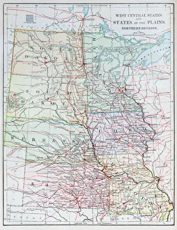
Background imageUSA Maps Poster Print Collection: Antique map: USA - West Central States

Antique map: USA - West Central States

Background imageUSA Maps Poster Print Collection: Antique map: South America

Antique map: South America

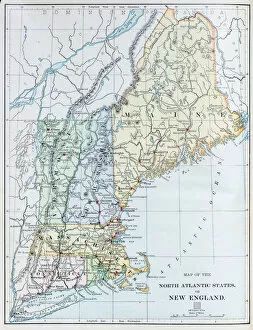
Background imageUSA Maps Poster Print Collection: Antique map: USA - North Atlantic States - New England

Antique map: USA - North Atlantic States - New England

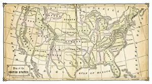
Background imageUSA Maps Poster Print Collection: Antique map: USA

Antique map: USA

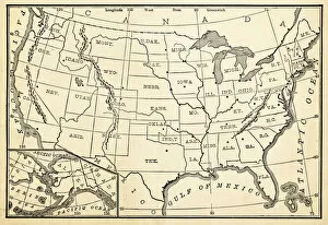
Background imageUSA Maps Poster Print Collection: Antique map: North America

Antique map: North America

Background imageUSA Maps Poster Print Collection: Map Massachusetts, Connecticut, Rhode Island 1881

Map Massachusetts, Connecticut, Rhode Island 1881
Appletons American Standard Geography 1881

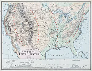
Background imageUSA Maps Poster Print Collection: USA map 1898

USA map 1898
Map from Physical Geography by R. S. Tarr - The MacMillan Company - London 1898

Background imageUSA Maps Poster Print Collection: USA southern states map 1898

USA southern states map 1898
Map from Physical Geography by R. S. Tarr - The MacMillan Company - London 1898

Background imageUSA Maps Poster Print Collection: USA Western states map 1898

USA Western states map 1898
Map from Physical Geography by R. S. Tarr - The MacMillan Company - London 1898

Background imageUSA Maps Poster Print Collection: Map of Central States USA 1898

Map of Central States USA 1898
Map from Physical Geography by R. S. Tarr - The MacMillan Company - London 1898

Background imageUSA Maps Poster Print Collection: Map of USA 1867

Map of USA 1867
Map of USA - Warren geography 1867

Background imageUSA Maps Poster Print Collection: Map of USA 1896

Map of USA 1896
Apple blossoms engraving 1896 Primary Geography - Alex Everett Frye, 1896

Background imageUSA Maps Poster Print Collection: MA Plymouth Abington Vector Road Map

MA Plymouth Abington Vector Road Map. All source data is in the public domain. U.S. Census Bureau Census Tiger. Used Layers: areawater, linearwater, roads, rails, cousub, pointlm, uac10

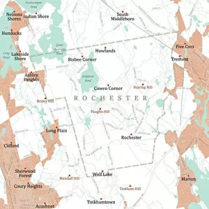
Background imageUSA Maps Poster Print Collection: MA Plymouth Rochester Vector Road Map

MA Plymouth Rochester Vector Road Map. All source data is in the public domain. U.S. Census Bureau Census Tiger. Used Layers: areawater, linearwater, roads, rails, cousub, pointlm, uac10

Background imageUSA Maps Poster Print Collection: MA Plymouth Bridgewater Town Vector Road Map

MA Plymouth Bridgewater Town Vector Road Map. All source data is in the public domain. U.S. Census Bureau Census Tiger. Used Layers: areawater, linearwater, roads, rails, cousub, pointlm, uac10

Background imageUSA Maps Poster Print Collection: MA Plymouth Middleborough Vector Road Map

MA Plymouth Middleborough Vector Road Map. All source data is in the public domain. U.S. Census Bureau Census Tiger. Used Layers: areawater, linearwater, roads, rails, cousub, pointlm, uac10

Background imageUSA Maps Poster Print Collection: Map of Western states USA 1889

Map of Western states USA 1889
Comprehensive Geography by James Monteith - American Book Company 1882, 1889

Background imageUSA Maps Poster Print Collection: Map of New Mexico 1885

Map of New Mexico 1885
Map of New Mexico

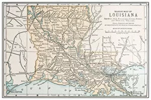
Background imageUSA Maps Poster Print Collection: Antique vintage retro USA map: Louisiana

Antique vintage retro USA map: Louisiana

Background imageUSA Maps Poster Print Collection: Alluvial land of the Mississippi mouth with New Orleans, 1893

Alluvial land of the Mississippi mouth with New Orleans, 1893
Historical map of the alluvial land of the Mississippi mouth and the surrounding of New Orleans, USA. Lithograph, published in 1893

Background imageUSA Maps Poster Print Collection: USA South Eastern states map 1877

USA South Eastern states map 1877
USA South Eastern states map - Florida, North Carolina, South Carolina, Georgia, Alabama, Tennessee (1877)

Background imageUSA Maps Poster Print Collection: the southern states usa map

the southern states usa map
southern states usa - east coast, mexican gulf and atlantic ocean (1876)

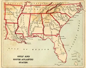
Background imageUSA Maps Poster Print Collection: USA South Atlantic States 1868

USA South Atlantic States 1868
USA South Atlantic States - Florida, North Carolina, South Carolina, Georgia, Alabama, Tennessee, Louisiana (1877)

Background imageUSA Maps Poster Print Collection: Map of USA southern states 1897

Map of USA southern states 1897
Natural Elementary Geography by Redway and Hinman - NY/Cincinnati/Chicago 1897

Background imageUSA Maps Poster Print Collection: usa - southern states 1870

usa - southern states 1870
east and southern states usa in light color- east coast, mexican gulf and atlantic ocean (1870)

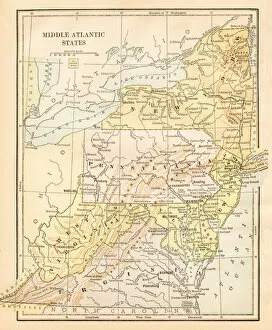
Background imageUSA Maps Poster Print Collection: Map Middle Atlantic States USA 1888

Map Middle Atlantic States USA 1888
Butlers Elementary Geography by Jacques W. Redway - Philadelphia 1888

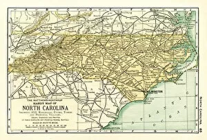
Background imageUSA Maps Poster Print Collection: North Carolina USA map 1898

North Carolina USA map 1898
Map from the Complete Handy Atlas of the World - 1898

Background imageUSA Maps Poster Print Collection: Map of USA 1898

Map of USA 1898
Map from the Complete Handy Atlas of the World - 1898

Background imageUSA Maps Poster Print Collection: USA map 1898

USA map 1898
Map from Physical Geography by R. S. Tarr - The MacMillan Company - London 1898

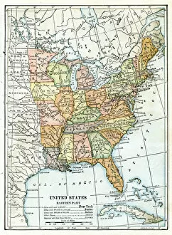
Background imageUSA Maps Poster Print Collection: USA eastern states map 1898

USA eastern states map 1898
Map from Physical Geography by R. S. Tarr - The MacMillan Company - London 1898

Background imageUSA Maps Poster Print Collection: Antique vintage retro USA map: North Carolina

Antique vintage retro USA map: North Carolina

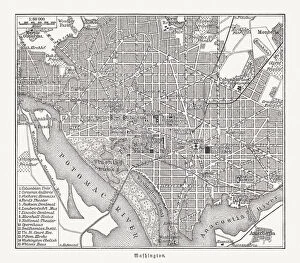
Background imageUSA Maps Poster Print Collection: Historical city map of Washington D. C. USA, woodcut, published 1897

Historical city map of Washington D. C. USA, woodcut, published 1897
Historical city map of Washington, District of Colombia, capital city of the United States of America. Wood engraving, published in 1897


All Professionally Made to Order for Quick Shipping


-

Why Choose Us?

We are a leading provider of Art Prints and Photo Gifts since 2003, working in partnership with a range of Sporting Clubs, Charities, Museums and Picture Libraries. A large share of profits from any of their images will go directly towards supporting that charity or club. Our archive of images is carefully curated to bring you a wide range of subjects, including landscapes, wildlife, architecture, and more. We ship from our partner labs in the UK, USA, EU (Netherlands) and Australia.
+

How do I place an order?

Ordering is quick & easy - Just follow 5 Simple Steps:
  1. Find your image: Use our search box or browse our online photo Collections to find the image you want.

  2. Choose your print format: Select your desired product and add it to your cart.

  3. Enter your details: If you're a returning customer, simply enter your email address and password, and we'll fill in your billing and shipping address details. All personal details are held securely and are fully GDPR compliant. As standard, we remove all Personally Identifiable Information after 12 months.

  4. Pay for your purchase: We use state-of-the-art security for online shopping and do not have access to your card details.

  5. Sit back and relax: We'll email you confirmation of your order and when it's dispatched. Registered customers can also track orders in the 'My Account' area.

+

How do I pay for an order?

You can pay for your order with most of the major credit and debit cards, or PayPal. For added security, major financial institutions process payment details separately and securely on our behalf. We do not have access to your online payment card details. Online payments are preferred however we do take phone orders. For UK customers only we accept cheques issued against a UK bank.
+

Is my data safe?

We take data security very seriously. We do not have access to your full card details and all payments are requested over a fully secure connection. Additionally, we fully comply with current European and GDPR legislation, and automatically remove all personal data after at most 12 months (unless you have an account with us and have signed in recently). We also have a strict opt-in policy and would never sell your personal details. Your data is only used to fulfill your order promptly and efficiently.
+

Is wall art ready to hang?

For quick and easy installation all wall art, including framed prints, canvas prints and metal prints are supplied with a ready to hang solution on the back. Generally, saw tooth hangers are applied as they allow wall art to hang flush against the wall. The serrated edge of the hanger prevents the frame from shifting or tilting when hung.
+

Are the photo prints fade resistant?

Yes, we use archival quality photo paper photographic paper for vivid reproduction Prints are an accurate representations of the original artwork, which is preserved for artistic character and authenticity. We guarantee they match previews shown on our web site