Fraud Blocker Skip to main content

Home > Science Photo Library > Aerial and Satellite

Aerial and Satellite Collection (page 3)

210 items

We are proud to offer this selection in partnership with Science Photo Library

Background imageAerial and Satellite Collection: Aerial view of the SP volcanic crater

Aerial view of the SP volcanic crater
SP volcanic crater. Aerial view of the SP volcanic crater with its cinder cone. The crater was named " Shit Pot" by early explorers because of its shape

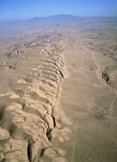
Background imageAerial and Satellite Collection: Aerial photo of the San Andreas fault

Aerial photo of the San Andreas fault
Aerial photograph of the San Andreas fault as it crosses the Carrizo Plain some 450km (300 miles) south of San Francisco & 160km (100 miles) north of Los Angeles

Background imageAerial and Satellite Collection: Geothermal research site, Kamchatka

Geothermal research site, Kamchatka
Geothermal research site. Aerial photograph of huts (centre) and geothermal wells (upper right) in the Mutnovsky geothermal field

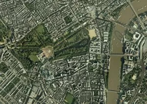
Background imageAerial and Satellite Collection: Central London, aerial view

Central London, aerial view. Buckingham Palace is at centre left. The river Thames is at right

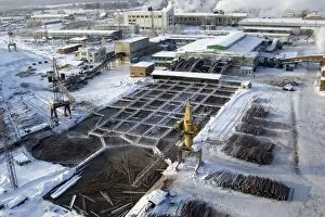
Background imageAerial and Satellite Collection: Aerial view of a Siberian sawmill

Aerial view of a Siberian sawmill
Sawmill. Aerial view of the Lesosibirski Sawmill No.1. In the foreground are pools used to defrost the logs when they arrive

Background imageAerial and Satellite Collection: Aerial view of a Siberian sawmill

Aerial view of a Siberian sawmill
Sawmill. Aerial view of part of the Lesosibirski Sawmill No.1. Here the logs arriving on trucks go through an initial sorting for size and shape

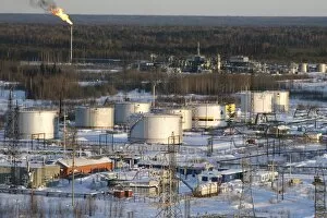
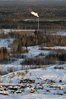
Background imageAerial and Satellite Collection: Oil field

Oil field. Aerial view across production facilities at an oil field. In the foreground are storage tanks, in the background is a chimney used to burn off natural gas associated with the oil

Background imageAerial and Satellite Collection: Oil field

Oil field. Aerial view across production facilities at an oil field. In the background is a chimney used to burn off natural gas associated with the oil

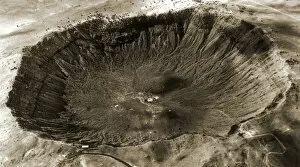
Background imageAerial and Satellite Collection: Barringer Crater, aerial photograph

Barringer Crater, aerial photograph
Barringer Crater, Arizona, USA, aerial photograph. This crater, also known as Meteor Crater, was formed over 50, 000 years ago by the impact of an iron meteorite (space rock)

Background imageAerial and Satellite Collection: Ice sheet surface

Ice sheet surface, aerial photograph. This undulating surface is part of the Greenland ice sheet, a vast mass of ice that covers most of Greenland

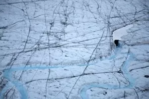
Background imageAerial and Satellite Collection: Rivers on a glacier

Rivers on a glacier, aerial photograph. The rivers (lower frame) are flowing into a glacier feature called a moulin. This is an opening in the glacier into which surface rivers and other water flows

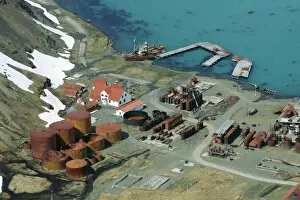
Background imageAerial and Satellite Collection: Grytviken whaling station, South Georgia

Grytviken whaling station, South Georgia, aerial photograph. This is one of several abandoned whaling stations in South Georgia

Background imageAerial and Satellite Collection: Tunguska forest

Tunguska forest
Aerial view of the landscape around Tunguska, 100 years after the famous explosion. At around 7.14am local time on 30 June 1908 a powerful explosion occurred above the Podkamennaya Tunguska River in

Background imageAerial and Satellite Collection: Hurricane Epsilon, ISS image

Hurricane Epsilon, ISS image
Hurricane Epsilon. International Space Station (ISS) image of hurricane Epsilon over the central Atlantic Ocean on 3rd December 2005

Background imageAerial and Satellite Collection: Earth, topographic and bathymetric map

Earth, topographic and bathymetric map
Earth. Blue Marble: Next Generation cloud-free topographic and bathymetric map of the Earth in July 2004. Highlands and lowlands of the continents are shown as ridges and flat areas

Background imageAerial and Satellite Collection: Tunguska forest

Tunguska forest
Aerial view of part of the Podkamennaya Tunguska River, 100 years after the famous explosion. At around 7.14am local time on 30 June 1908 a powerful explosion occurred above the Podkamennaya Tunguska

Background imageAerial and Satellite Collection: Arctic stream and delta, aerial view

Arctic stream and delta, aerial view
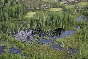
Arctic stream and delta, aerial photograph. This stream flows over permafrost ground, with mountains and ice and snow seen in the background

Background imageAerial and Satellite Collection: Arctic landscape, aerial view

Arctic landscape, aerial view, Baffin Island, Nunavut, Canada

Background imageAerial and Satellite Collection: Millennium Stadium car park, aerial view

Millennium Stadium car park, aerial view

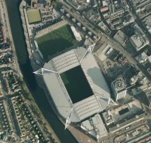
Background imageAerial and Satellite Collection: Millennium Stadium, Cardiff, aerial view

Millennium Stadium, Cardiff, aerial view

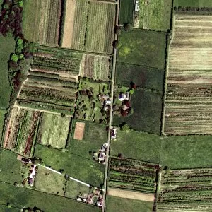
Background imageAerial and Satellite Collection: Farm buildings and fields, aerial view

Farm buildings and fields, aerial view

Background imageAerial and Satellite Collection: Farm, aerial view

Farm, aerial view. Photographed in Macclesfield, Cheshire, UK

Background imageAerial and Satellite Collection: Himba kraal, Namibia

Himba kraal, Namibia. Aerial photograph of a kraal (livestock enclosure) of the Himba people of northern Namibia. The Himba are pastoral and nomadic, tending herds of goats and cattle

Background imageAerial and Satellite Collection: Llandrillo, North Wales, aerial image

Llandrillo, North Wales, aerial image
Llandrillo. Aerial photograph of the village of Llandrillo (white area at top centre) and the surrounding area, North Wales, UK

Background imageAerial and Satellite Collection: Jaisalmer, India

Jaisalmer, India
Jaisalmer. Aerial view of houses in Jaisalmer town, Rajasthan, India

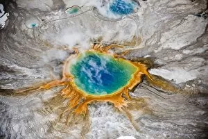
Background imageAerial and Satellite Collection: Grand Prismatic thermal springs aerial

Grand Prismatic thermal springs aerial
Aerial view of Grand Prismatic thermal spring in Yellowstone National Park, USA. The bright colours are natural. People can be seen walking on the raised trail at the top of this frame giving scale

Background imageAerial and Satellite Collection: Jaipur, India

Jaipur, India
Jaipur. Aerial view of colourful houses in Jaipur town, Rajasthan, India

Background imageAerial and Satellite Collection: Manchester and environs, aerial view

Manchester and environs, aerial view. North is at top. Manchester, one of the largest cities in the UK, is at centre, surrounded by the M60 ring motorway

Background imageAerial and Satellite Collection: Manchester, aerial view

Manchester, aerial view
Manchester and environs, aerial view. North is at top. Manchester, one of the largest cities in the UK, is at centre left, surrounded by the M60 ring motorway

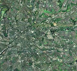
Background imageAerial and Satellite Collection: Central Manchester, aerial view

Central Manchester, aerial view. North is at top. Manchester is one of the largest cities in the UK. The River Irwell (upper left) flows through the city centre (centre left)

Background imageAerial and Satellite Collection: Peterborough, aerial image

Peterborough, aerial image
Peterborough. Aerial image of Peterborough, Cambridgeshire, UK

Background imageAerial and Satellite Collection: Old field patterns, Turkey

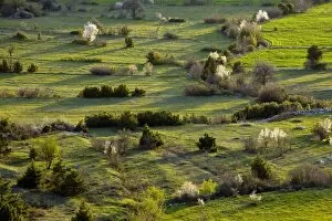
Old field patterns, Turkey
Aerial view of old field patterns and boundaries on a spring evening at Cimikoy near Akseki, Taurus Mountains, south Turkey

Background imageAerial and Satellite Collection: Valles Marineris, artwork

Valles Marineris, artwork
Valles Marineris. Artwork of an aerial view of Valles Marineris (Mariner Valleys), a massive system of canyons on Mars. Valles Marineris is a massive crack in the Martian crust near the equator

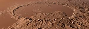
Background imageAerial and Satellite Collection: Prehistoric Schiaparelli Crater, artwork

Prehistoric Schiaparelli Crater, artwork
Prehistoric Schiaparelli Crater. Artwork of an aerial view of this large impact crater as it may have appeared around one billion years ago

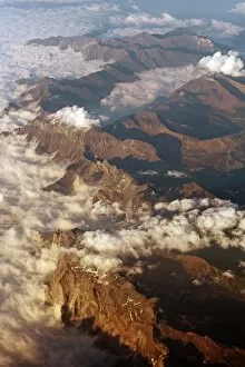
Background imageAerial and Satellite Collection: The Alps, aerial photograph

The Alps, aerial photograph. This mountain range runs from Austria and Slovenia through Italy, Switzerland, Liechtenstein and Germany to France

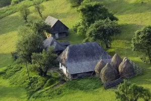
Background imageAerial and Satellite Collection: Romanian farm buildings

Romanian farm buildings, aerial photograph. Photographed in the Piatra Craiulu Mountains, Romania

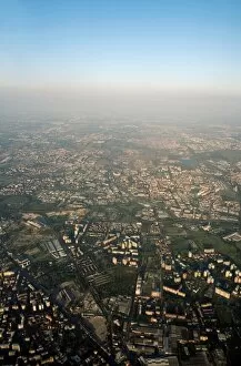
Background imageAerial and Satellite Collection: Milan, Italy, aerial photograph

Milan, Italy, aerial photograph
Milan. Aerial photograph of Milan, the second largest city in Italy

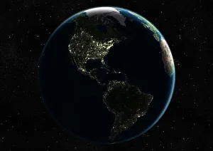
Background imageAerial and Satellite Collection: Earth from space, satellite image

Earth from space, satellite image
Earth from space. Satellite image showing North and South America as seen from 35, 000 kilometres above the Earths surface. North is at top and the Moon is at upper right

Background imageAerial and Satellite Collection: Oil platform

Oil platform. Aerial view, from a helicopter, of an oil platform. Oil platforms are used to drill for and pump oil from below the Earths surface, often from below the seabed

Background imageAerial and Satellite Collection: Traditional farm in Romania

Traditional farm in Romania
Aerial view of an old fashioned agricultural farm in the Piatra Craiulu Mountains National Park, Romania

Background imageAerial and Satellite Collection: Beech woodland (Fagus sp. )

Beech woodland (Fagus sp. )
Aerial view of woodland Beech trees (Fagus sp.) in the spring

Background imageAerial and Satellite Collection: Nickel ore processing factory

Nickel ore processing factory. Aerial photograph of the chimney stacks and buildings of the Norilsk Nickel Company nickel ore processing factory, near Norilsk, northern Siberia, Russia

Background imageAerial and Satellite Collection: Oil platform

Oil platform. Aerial view, from a helicopter, of an oil platform. A boat is seen in the background. Oil platforms are used to drill for and pump oil from below the Earths surface

Background imageAerial and Satellite Collection: Southeast Asia at night, satellite image

Southeast Asia at night, satellite image
Southeast Asia at night. Satellite image of the Earth seen at 18:00 (6pm) GMT (UCT), centred on China. City lights (yellow) show areas of dense population, particularly in India (left)

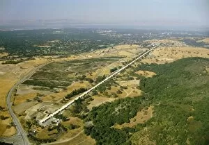
Background imageAerial and Satellite Collection: Aerial photo of SLAC linear accelerator

Aerial photo of SLAC linear accelerator
Aerial photograph of the two-mile long linear accelerator (for accelerating electrons up to an energy of 30 billion electron Volts) at Stanford Linear Accelerator Center, California. (June 84)

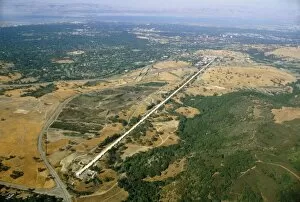
Background imageAerial and Satellite Collection: Aerial photograph of SLAC, California

Aerial photograph of SLAC, California, showing the 2-mile long linear accelerator. June 84

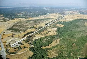
Background imageAerial and Satellite Collection: Aerial photo of SLAC Linear Accelerator

Aerial photo of SLAC Linear Accelerator
Aerial photograph of the 2-mile long linear accelerator at the Stanford Linear Accelerator Center (SLAC), California. The end at which the electrons start their journey is at bottom left

Background imageAerial and Satellite Collection: Solar power plant, California, USA

Solar power plant, California, USA
Solar power plant, aerial photograph. There are nine solar power plants located in Californias Mojave desert, USA, collectively called solar energy generating systems (SEGS)


All Professionally Made to Order for Quick Shipping


-

Why Choose Us?

We are a leading provider of Art Prints and Photo Gifts since 2004, working in partnership with a range of Sporting Clubs, Charities, Museums and Picture Libraries. A large share of profits from any of their images will go directly towards supporting that charity or club. Our archive of images is carefully curated to bring you a wide range of subjects, including landscapes, wildlife, architecture, and more. We ship from our partner labs in the UK, USA, EU (Netherlands) and Australia.
+

How do I place an order?

Ordering is quick & easy - Just follow 5 Simple Steps:
  1. Find your image: Use our search box or browse our online photo Collections to find the image you want.

  2. Choose your print format: Select your desired product and add it to your cart.

  3. Enter your details: If you're a returning customer, simply enter your email address and password, and we'll fill in your billing and shipping address details. All personal details are held securely and are fully GDPR compliant. As standard, we remove all Personally Identifiable Information after 12 months.

  4. Pay for your purchase: We use state-of-the-art security for online shopping and do not have access to your card details.

  5. Sit back and relax: We'll email you confirmation of your order and when it's dispatched. Registered customers can also track orders in the 'My Account' area.

+

How do I pay for an order?

You can pay for your order with most of the major credit and debit cards, or PayPal. For added security, major financial institutions process payment details separately and securely on our behalf. We do not have access to your online payment card details. Online payments are preferred however we do take phone orders. For UK customers only we accept cheques issued against a UK bank.
+

Is my data safe?

We take data security very seriously. We do not have access to your full card details and all payments are requested over a fully secure connection. Additionally, we fully comply with current European and GDPR legislation, and automatically remove all personal data after at most 12 months (unless you have an account with us and have signed in recently). We also have a strict opt-in policy and would never sell your personal details. Your data is only used to fulfill your order promptly and efficiently.
+

Is wall art ready to hang?

For quick and easy installation all wall art, including framed prints, canvas prints and metal prints are supplied with a ready to hang solution on the back. Generally, saw tooth hangers are applied as they allow wall art to hang flush against the wall. The serrated edge of the hanger prevents the frame from shifting or tilting when hung.
+

Are the photo prints fade resistant?

Yes, we use archival quality photo paper photographic paper for vivid reproduction Prints are an accurate representations of the original artwork, which is preserved for artistic character and authenticity. We guarantee they match previews shown on our web site