Home > Arts > Artists > P > those present
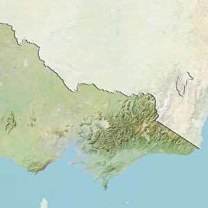
North-eastern Australia, satellite image C013 / 5161

![]()
Wall Art and Photo Gifts from Science Photo Library
North-eastern Australia, satellite image C013 / 5161
North-eastern Australia, satellite image. North is at top. Clouds are white. Most of the land area is the state of Queensland in north-eastern Australia. Rainforests and vegetation (green) are present in coastal areas, but inland the terrain is an arid desert landscape (brown). The Great Barrier Reef (upper right), stretches for over 2600 kilometres along the coast. New Guinea is on the horizon, with the Coral Sea at upper right. Image data obtained on 4 November 2008, by the Moderate-resolution Imaging Spectroradiometer (MODIS) instrument on NASAs Aqua satellite, part of the Earth Observing System (EOS)
Science Photo Library features Science and Medical images including photos and illustrations
Media ID 9195923
© NASA/SCIENCE PHOTO LIBRARY
2008 Aqua Arid Australasia Australasian Australia Australian Cloud Clouds Coral Curved Horizon Desert Earth Observation Earth Observing System From Space Great Barrier Reef Land Modis Natural Colour New Guinea Oceania Optical Pacific Coast Physical Geography Planetary Limb Queensland Reef Reefs Satellite Satellite Image Visible Atoll Atolls Brisbane Cape York Peninsula Coastal Vegetation Coral Sea Rainforests
FEATURES IN THESE COLLECTIONS
> Arts
> Artists
> P
> those present
> Science
> Space Exploration
> Satellite Imagery
EDITORS COMMENTS
This breathtaking satellite image captures the stunning diversity of North-eastern Australia, showcasing its contrasting landscapes and natural wonders. With the north at the top, this photograph reveals a tapestry of colors and textures that tell a captivating story. The vast state of Queensland dominates most of the land area, displaying an arid desert landscape in shades of brown as far as the eye can see. However, along the coastal areas, rainforests and lush vegetation emerge in vibrant greens, creating a stark contrast against the barren inland terrain. One cannot help but be drawn to the iconic Great Barrier Reef stretching over 2600 kilometers along the coast. Its intricate coral formations are visible in this image's upper right corner, serving as a testament to nature's artistry beneath crystal-clear waters. Beyond lies New Guinea on the horizon with its majestic presence complementing the Coral Sea shimmering above it. The clouds appear white against this picturesque backdrop, adding depth and dimension to an already awe-inspiring scene. Captured by NASA's Aqua satellite using their Moderate-resolution Imaging Spectroradiometer (MODIS) instrument on November 4th, 2008; this photograph is not just an ordinary snapshot from space but rather a testament to Earth's beauty seen from above. It provides us with valuable insights into our planet's physical geography while reminding us of Australia's unique charm within Oceania.
MADE IN AUSTRALIA
Safe Shipping with 30 Day Money Back Guarantee
FREE PERSONALISATION*
We are proud to offer a range of customisation features including Personalised Captions, Color Filters and Picture Zoom Tools
SECURE PAYMENTS
We happily accept a wide range of payment options so you can pay for the things you need in the way that is most convenient for you
* Options may vary by product and licensing agreement. Zoomed Pictures can be adjusted in the Cart.