Home > South America > Brazil > Maps
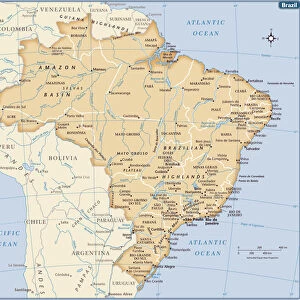
State of Espirito Santo, Brazil, Relief Map

![]()
Wall Art and Photo Gifts from Universal Images Group (UIG)
State of Espirito Santo, Brazil, Relief Map
Relief map of the State of Espirito Santo, Brazil. This image was compiled from data acquired by LANDSAT 5 & 7 satellites combined with elevation data
Universal Images Group (UIG) manages distribution for many leading specialist agencies worldwide
Media ID 9618551
© Planet Observer/UIG
Brazil Coastline Relief Map Shore South America State Espirito Santo Satellite View Vitoria
FEATURES IN THESE COLLECTIONS
> Aerial Photography
> America
> South America
> Brazil
> Maps
> Universal Images Group (UIG)
> Universal Images Group
> Satellite and Aerial
> Planet Observer 4
EDITORS COMMENTS
This print showcases the stunning relief map of the State of Espirito Santo, Brazil. Created using data acquired by LANDSAT 5 & 7 satellites combined with elevation data, this image offers a unique perspective on the topography and physical geography of this beautiful region in South America. The vibrant colors and intricate details bring to life the diverse landscape that characterizes Espirito Santo. From its picturesque coastline to its enchanting inland areas, this relief map highlights the state's remarkable features. With Vitoria as its capital city, Espirito Santo boasts a rich tapestry of mountains, valleys, rivers, and forests that make it an ideal destination for nature enthusiasts and adventurers alike. The absence of people in this photograph allows us to focus solely on appreciating the natural wonders that define Espirito Santo. Whether you are interested in cartography or simply fascinated by satellite views, this image offers a visually striking representation of the state's terrain. As we delve into exploring every nook and cranny captured within this relief map, we gain a deeper understanding of Espirito Santo's geographical diversity. This print serves as both an educational tool for studying topographic features and an awe-inspiring piece of art that celebrates Brazil's natural beauty.
MADE IN AUSTRALIA
Safe Shipping with 30 Day Money Back Guarantee
FREE PERSONALISATION*
We are proud to offer a range of customisation features including Personalised Captions, Color Filters and Picture Zoom Tools
SECURE PAYMENTS
We happily accept a wide range of payment options so you can pay for the things you need in the way that is most convenient for you
* Options may vary by product and licensing agreement. Zoomed Pictures can be adjusted in the Cart.