
Maps Cushion Collection
Add a touch of Scottish charm to your home decor with our Maps of Scotland cushions from Media Storehouse. These beautifully designed cushions feature intricate details of Scotland's landscapes, cities, and islands, making them a perfect addition to any living room or den. Each cushion is meticulously crafted with high-quality materials, ensuring durability and comfort. Explore the rich history and culture of Scotland with every sit, and bring a piece of Europe's most beautiful countries into your home.
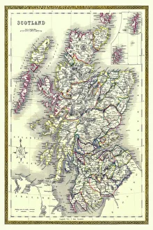
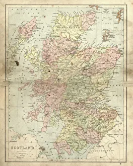
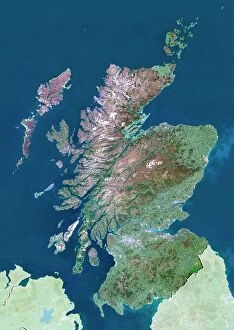
Scotland is a country located in the United Kingdom and Europe
Choose a picture from our Maps Cushion Collection for your Wall Art and Photo Gifts
1,188 Cushions


All Professionally Made to Order for Quick Shipping
-
Maps Cushion Collection
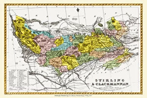
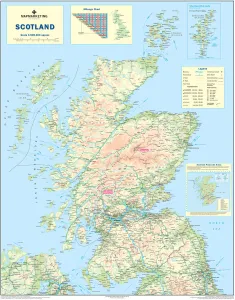
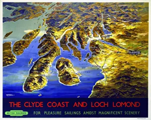
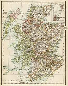
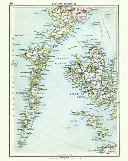
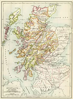
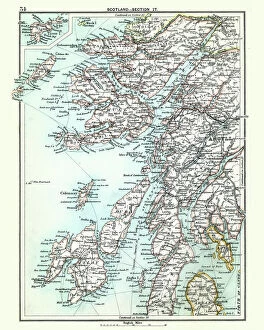
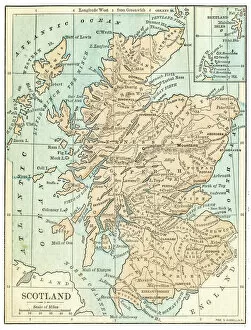
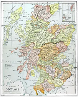
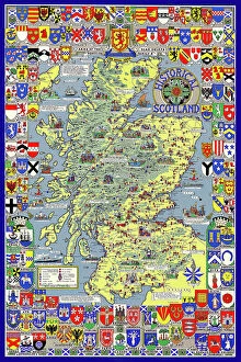
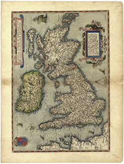
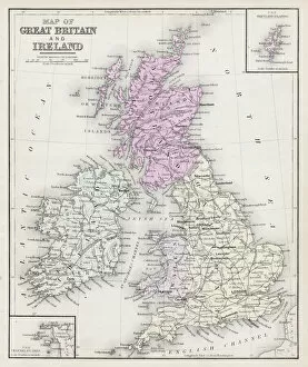
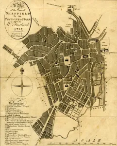
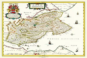
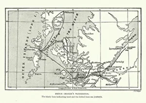
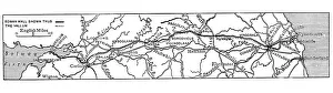
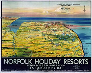
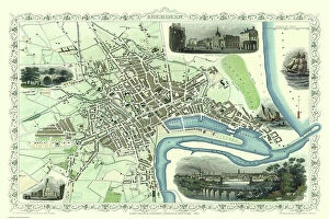
Scotland is a country located in the United Kingdom and Europe. Maps of Scotland are available to show its physical features, such as mountains, rivers, lakes, and cities. It also shows the political boundaries of Scotland within the UK and Europe. Maps of Scotland can be used to plan trips or explore its history and culture and can also help people understand how Scotland fits into the wider context of Europe. The maps provide an overview of the country's geography, climate, population density, transportation networks, and more. Additionally they may include information about attractions such as castles or other landmarks that make Scotland unique.
+
Our beautiful pictures are available as Framed Prints, Photos, Wall Art and Photo Gifts
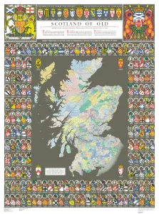
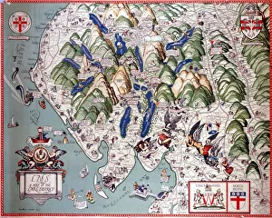
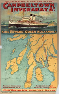
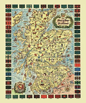
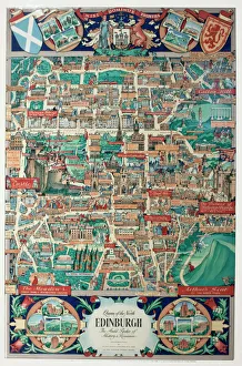
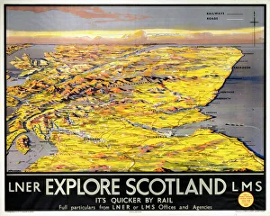
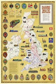
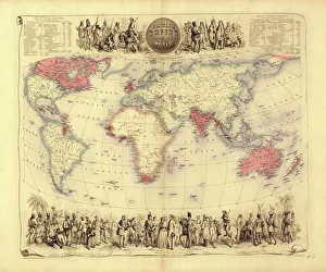
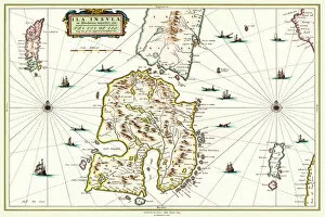
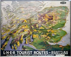
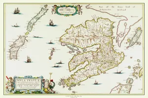
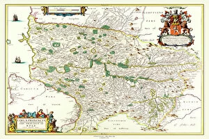
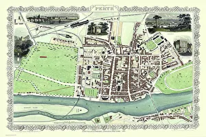
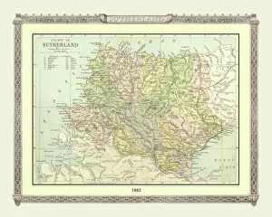
The Maps of Scotland United Kingdom Europe collection is a stunning assortment of wall art, framed prints, photo prints, canvas prints, jigsaw puzzles and greeting cards that showcase the beauty and rich history of Scotland. Our collection features an array of maps dating back to the 16th century, including antique maps depicting Scottish landscapes and seascapes as well as modern-day cartography showcasing cities such as Edinburgh and Glasgow. Each piece in our collection is carefully curated to provide a unique perspective on Scotland's geography, culture and heritage. Whether you are looking for a striking centrepiece for your living room or office or seeking a thoughtful gift for someone special who loves Scotland's history and landscape, the Maps of Scotland United Kingdom Europe collection has something for everyone. With its high-quality printing techniques that capture every detail with precision and clarity, our collection offers an unparalleled visual experience that will transport you to another time and place.
+
What are Maps of Scotland United Kingdom Europe art prints?
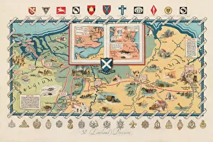
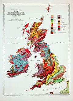
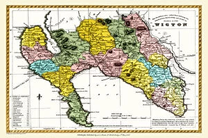
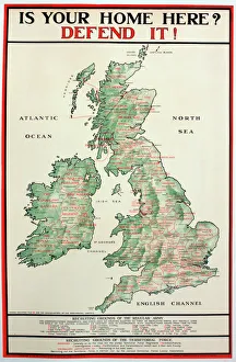
Maps of Scotland United Kingdom Europe art prints are high-quality reproductions of antique and contemporary maps that depict the geography, topography, and landmarks of Scotland, the United Kingdom, and Europe. These prints are created using advanced printing techniques to ensure vivid colors and sharp details that capture every nuance of the original map. These art prints serve as both decorative pieces for homes or offices as well as educational tools for students or history enthusiasts. We offer a unique perspective on how these regions have evolved over time while also highlighting their cultural significance. The collection includes various types of maps such as political maps, physical maps, vintage maps, city plans, and more. The selection ranges from classic designs to modern interpretations with something suitable for all tastes. Whether you're looking to decorate your home or office space with a piece of history or want to learn more about Scottish geography and culture through visual representation – Maps of Scotland United Kingdom Europe art prints provide an excellent option.
+
What Maps of Scotland United Kingdom Europe art prints can I buy from Media Storehouse?
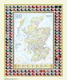
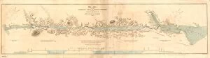
We offer a wide range of Maps of Scotland United Kingdom Europe art prints for sale. These maps are available in various sizes and styles, including vintage, antique, and contemporary designs. You can choose from different types of maps, such as political maps that show the borders between countries or physical maps that display geographical features like mountains and rivers. Our collection includes detailed street maps of Scottish cities like Edinburgh and Glasgow, as well as regional maps that highlight popular tourist destinations like the Highlands and Islands. We also offer historical maps dating back to the 16th century which showcase how Scotland has changed over time. Whether you're looking for a map to hang in your home or office, we have something for everyone. With their vast selection of Maps of Scotland United Kingdom Europe art prints, you're sure to find the perfect piece to suit your taste and style.
+
How do I buy Maps of Scotland United Kingdom Europe art prints?
To buy Maps of Scotland United Kingdom Europe art prints, you can visit our online platform. We offer a wide range of high-quality maps that are perfect for decorating your home or office space. You can browse through our extensive collection and choose the map that best suits your taste and preferences. Once you have selected the map, you can add it to your cart and proceed to checkout. The process is simple and straightforward, with easy payment options available for your convenience. Media Storehouse takes pride in providing excellent customer service, so if you have any questions or concerns about purchasing a map print from them, feel free to reach out to their friendly support team who will be happy to assist you. Buying Maps of Scotland United Kingdom Europe art prints from Media Storehouse is an effortless process that offers quality products at affordable prices.
+
How much do Maps of Scotland United Kingdom Europe art prints cost?
We offer a wide range of Maps of Scotland United Kingdom Europe art prints that are available for purchase. The cost of these prints varies depending on the size and type of print you choose. We have a variety of options to suit all budgets, from affordable paper prints to high-quality canvas prints. Our Maps of Scotland United Kingdom Europe art prints are perfect for those who love history, geography or simply want to add some unique artwork to their home or office decor. They make great gifts too. We take pride in offering our customers top-quality products at competitive prices. Our team works hard to ensure that every customer is satisfied with their purchase and we strive to provide excellent customer service throughout the entire buying process. If you're interested in purchasing one of our Maps of Scotland United Kingdom Europe art prints, please visit our website today.
+
How will my Maps of Scotland United Kingdom Europe art prints be delivered to me?
We take pride in delivering our Maps of Scotland United Kingdom Europe art prints to you in the best possible condition. We use high-quality packaging materials and reliable delivery services to ensure that your order arrives safely and securely. Your art print will be carefully rolled and packaged in a sturdy tube to prevent any damage during transit. Our team works diligently to process your order promptly, so you can expect your package to arrive within a reasonable timeframe. We understand how important it is for our customers to receive their orders on time, which is why we work closely with trusted courier partners who have an excellent track record of timely deliveries. You can rest assured that your Maps of Scotland United Kingdom Europe art print will be delivered directly to your doorstep without any hassle or inconvenience. Weprioritize customer satisfaction by ensuring that all orders are delivered safely and efficiently using reliable shipping methods.