Home > Aerial Photography > Africa
Globe Africa, True Colour Satellite Image. Earth. True colour satellite image of the Earth, centred

![]()
Wall Art and Photo Gifts from Design Pics
Globe Africa, True Colour Satellite Image. Earth. True colour satellite image of the Earth, centred
Globe Africa, True Colour Satellite Image. Earth. True colour satellite image of the Earth, centred on Africa. North is at top. Water is blue, vegetation is green, arid areas are brown, and snow and ice are white. Both land and ocean floor topography are shown. The terrain of Africa varies from rock and sand (grey and brown) in the Sahara in North Africa, to tropical rainforests (dark green) in Western and Central Africa, to savannah and plains (brown and green) in southern and eastern Africa. Surrounding Africa (clockwise from top) is Europe and the Mediterranean, the Arabian Peninsula, the Indian Ocean and the island of Madagascar, and the Atlantic Ocean. At the edge of the globe are India (upper right), Antarctica (bottom), South America (lower left) and Greenland (top). The image used data from LANDSAT 5 & 7 satellites. Print size 42x42cm
Design Pics offers Distinctively Different Imagery representing over 1,500 contributors
Media ID 24589064
© UIG / Design Pics
Africa Continent Environment Geographic Illustration Globe Satellite Image Uig Premium 1 Uig1 Satellite And Aerial World
FEATURES IN THESE COLLECTIONS
> Aerial Photography
> America
> Aerial Photography
> Related Images
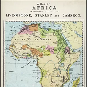
> Africa
> Madagascar
> Maps
> Africa
> Madagascar
> Related Images
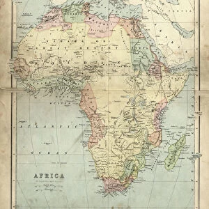
> Africa
> South Africa
> Maps
> Africa
> South Africa
> Related Images
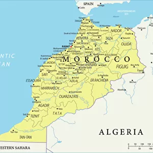
> Africa
> Western Sahara
> Maps
> Africa
> Western Sahara
> Related Images
> Design Pics
> Design Pics Art
> Design Pics
> Universal Images Group
> Design Pics
> Update - March 23, 2022
EDITORS COMMENTS
This print showcases the true colors of our magnificent planet Earth, with a special focus on the vibrant continent of Africa. The image, centered on Africa, reveals a breathtaking view from space where North is at the top. As we explore this satellite image, we can observe various elements that define our diverse world. The striking blue hues represent vast bodies of water while lush green shades depict thriving vegetation. Arid regions are depicted in brown tones and snow-covered areas appear pristine white. This detailed representation also includes both land and ocean floor topography. Africa's terrain unfolds before us in all its splendor - from the rocky deserts of the Sahara in North Africa to the dense rainforests of Western and Central Africa, transitioning into savannahs and plains in southern and eastern parts of the continent. Surrounding Africa clockwise are Europe and the Mediterranean Sea, followed by the Arabian Peninsula, Indian Ocean with Madagascar Island adorning its waters, and finally stretching out towards the Atlantic Ocean. At each edge of this globe-like perspective lies India to upper right, Antarctica below it, South America to lower left, and Greenland majestically crowning it all. This awe-inspiring image was created using data collected by LANDSAT 5 & 7 satellites resulting in an exquisite print measuring 42x42cm. It serves as a testament to our planet's beauty while offering an opportunity for exploration through geography and tourism alike.
MADE IN AUSTRALIA
Safe Shipping with 30 Day Money Back Guarantee
FREE PERSONALISATION*
We are proud to offer a range of customisation features including Personalised Captions, Color Filters and Picture Zoom Tools
SECURE PAYMENTS
We happily accept a wide range of payment options so you can pay for the things you need in the way that is most convenient for you
* Options may vary by product and licensing agreement. Zoomed Pictures can be adjusted in the Cart.