Fraud Blocker Skip to main content

Digitally Generated Image Collection (page 6)

"Exploring the Boundless World of Digitally Generated Images

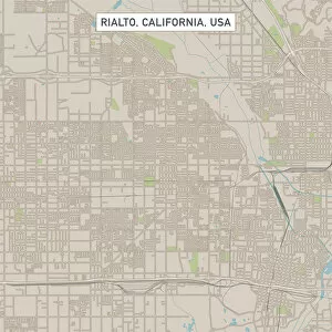
Background imageDigitally Generated Image Collection: Rialto California US City Street Map

Rialto California US City Street Map
Vector Illustration of a City Street Map of Rialto, California, USA. Scale 1:60, 000. All source data is in the public domain. U.S

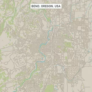
Background imageDigitally Generated Image Collection: Bend Oregon US City Street Map

Bend Oregon US City Street Map
Vector Illustration of a City Street Map of Bend, Oregon, USA. Scale 1:60, 000. All source data is in the public domain. U.S

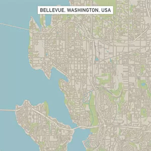
Background imageDigitally Generated Image Collection: Bellevue Washington US City Street Map

Bellevue Washington US City Street Map
Vector Illustration of a City Street Map of Bellevue, Washington, USA. Scale 1:60, 000. All source data is in the public domain. U.S

Background imageDigitally Generated Image Collection: Caldwell Idaho US City Street Map

Caldwell Idaho US City Street Map
Vector Illustration of a City Street Map of Caldwell, Idaho, USA. Scale 1:60, 000. All source data is in the public domain. U.S

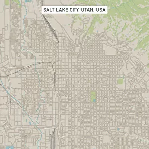
Background imageDigitally Generated Image Collection: Salt Lake City Utah US City Street Map

Salt Lake City Utah US City Street Map
Vector Illustration of a City Street Map of Salt Lake City, Utah, USA. Scale 1:60, 000. All source data is in the public domain. U.S

Background imageDigitally Generated Image Collection: Saint George Utah US City Street Map

Saint George Utah US City Street Map
Vector Illustration of a City Street Map of Saint George, Utah, USA. Scale 1:60, 000. All source data is in the public domain. U.S

Background imageDigitally Generated Image Collection: Laramie Wyoming US City Street Map

Laramie Wyoming US City Street Map
Vector Illustration of a City Street Map of Laramie, Wyoming, USA. Scale 1:60, 000. All source data is in the public domain. U.S

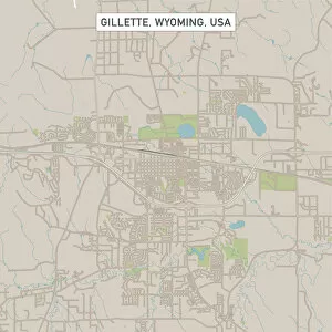
Background imageDigitally Generated Image Collection: Gillette Wyoming US City Street Map

Gillette Wyoming US City Street Map
Vector Illustration of a City Street Map of Gillette, Wyoming, USA. Scale 1:60, 000. All source data is in the public domain. U.S

Background imageDigitally Generated Image Collection: Missoula Montana US City Street Map

Missoula Montana US City Street Map
Vector Illustration of a City Street Map of Missoula, Montana, USA. Scale 1:60, 000. All source data is in the public domain. U.S

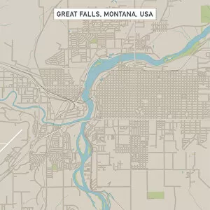
Background imageDigitally Generated Image Collection: Great Falls Montana US City Street Map

Great Falls Montana US City Street Map
Vector Illustration of a City Street Map of Great Falls, Montana, USA. Scale 1:60, 000. All source data is in the public domain. U.S

Background imageDigitally Generated Image Collection: Yuma Arizona US City Street Map

Yuma Arizona US City Street Map
Vector Illustration of a City Street Map of Yuma, Arizona, USA. Scale 1:60, 000. All source data is in the public domain. U.S

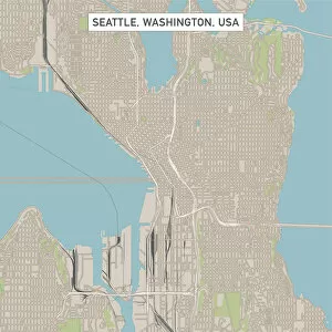
Background imageDigitally Generated Image Collection: Seattle Washington US City Street Map

Seattle Washington US City Street Map
Vector Illustration of a City Street Map of Seattle, Washington, USA. Scale 1:60, 000. All source data is in the public domain. U.S

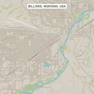
Background imageDigitally Generated Image Collection: Billings Montana US City Street Map

Billings Montana US City Street Map
Vector Illustration of a City Street Map of Billings, Montana, USA. Scale 1:60, 000. All source data is in the public domain. U.S

Background imageDigitally Generated Image Collection: Croydon London UK City Street Map

Croydon London UK City Street Map
Vector Illustration of a City Street Map of Croydon, London, UK. Included files are EPS (v10) and Hi-Res JPG. Data courtesy from Ordnance Survey: VectorMap District https

Background imageDigitally Generated Image Collection: Corner of a brick wall, built in English bond bricklaying pattern

Corner of a brick wall, built in English bond bricklaying pattern

Background imageDigitally Generated Image Collection: Roof trusses

Roof trusses

Background imageDigitally Generated Image Collection: Digitally generated image of human representation dancing ballet

Digitally generated image of human representation dancing ballet
digitally generated image, human representation, dancing, motion, action, freedom, leap, anatomy, internal organ, human skeleton, human bone, free, escape, unleashed, reaching, striving, aspiration

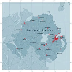
Background imageDigitally Generated Image Collection: Northern Ireland Vector Road Map

Northern Ireland Vector Road Map
Detailed vector map of Northern Ireland, including main cities, roads, rivers and lakes. Source data courtesy of the former United States National Imagery and Mapping Agency NIMA (database: VMAP0)

Background imageDigitally Generated Image Collection: Flying saucer, artwork

Flying saucer, artwork
UFO flying through cloudy skies

Background imageDigitally Generated Image Collection: UFO in sky, illustration

UFO in sky, illustration
Unidentified flying object, illustration

Background imageDigitally Generated Image Collection: Vintage UFO in the sky, illustration

Vintage UFO in the sky, illustration
Vintage UFO flying in the sky, illustration

Background imageDigitally Generated Image Collection: UFO, artwork

UFO, artwork
UFO flying through cloudy skies

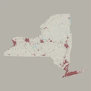
Background imageDigitally Generated Image Collection: New York State US State Road Map

New York State US State Road Map
Vector Illustration of a Road Map of New York State State, USA. All source data is in the public domain. U.S. Geological Survey

Background imageDigitally Generated Image Collection: The constellation of Virgo

The constellation of Virgo
square, illustration, color, illustration technique, digitally generated image, concepts & topics, studio shot, black background, one person, series, creativity, absence, ideas, still life

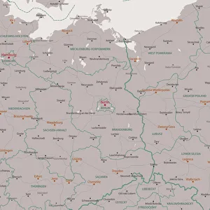
Background imageDigitally Generated Image Collection: Berlin Brandenburg Area Vector Map

Berlin Brandenburg Area Vector Map. All source data is in the public domain. Made with Natural Earth. http://www.naturalearthdata.com/about/terms-of-use/

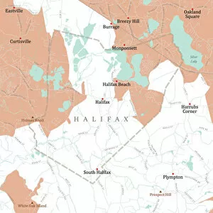
Background imageDigitally Generated Image Collection: MA Plymouth Halifax Vector Road Map

MA Plymouth Halifax Vector Road Map. All source data is in the public domain. U.S. Census Bureau Census Tiger. Used Layers: areawater, linearwater, roads, rails, cousub, pointlm, uac10

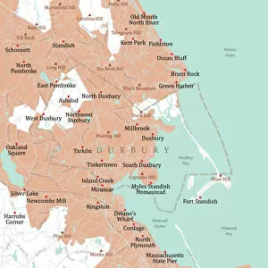
Background imageDigitally Generated Image Collection: MA Plymouth Duxbury Vector Road Map

MA Plymouth Duxbury Vector Road Map. All source data is in the public domain. U.S. Census Bureau Census Tiger. Used Layers: areawater, linearwater, roads, rails, cousub, pointlm, uac10

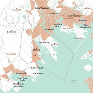
Background imageDigitally Generated Image Collection: MA Plymouth Marion Vector Road Map

MA Plymouth Marion Vector Road Map. All source data is in the public domain. U.S. Census Bureau Census Tiger. Used Layers: areawater, linearwater, roads, rails, cousub, pointlm, uac10

Background imageDigitally Generated Image Collection: MA Plymouth Hingham Vector Road Map

MA Plymouth Hingham Vector Road Map. All source data is in the public domain. U.S. Census Bureau Census Tiger. Used Layers: areawater, linearwater, roads, rails, cousub, pointlm, uac10

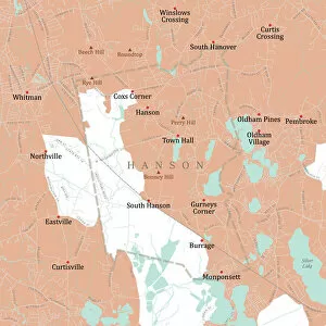
Background imageDigitally Generated Image Collection: MA Plymouth Hanson Vector Road Map

MA Plymouth Hanson Vector Road Map. All source data is in the public domain. U.S. Census Bureau Census Tiger. Used Layers: areawater, linearwater, roads, rails, cousub, pointlm, uac10

Background imageDigitally Generated Image Collection: MA Plymouth Vector Road Map

MA Plymouth Vector Road Map. All source data is in the public domain. U.S. Census Bureau Census Tiger. Used Layers: areawater, linearwater, roads, rails, cousub, pointlm, uac10

Background imageDigitally Generated Image Collection: MA Plymouth Marshfield Vector Road Map

MA Plymouth Marshfield Vector Road Map. All source data is in the public domain. U.S. Census Bureau Census Tiger. Used Layers: areawater, linearwater, roads, rails, cousub, pointlm, uac10

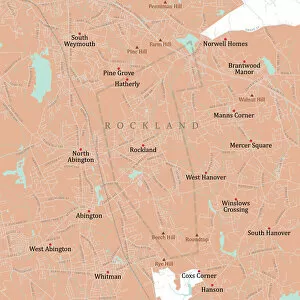
Background imageDigitally Generated Image Collection: MA Plymouth Rockland Vector Road Map

MA Plymouth Rockland Vector Road Map. All source data is in the public domain. U.S. Census Bureau Census Tiger. Used Layers: areawater, linearwater, roads, rails, cousub, pointlm, uac10

Background imageDigitally Generated Image Collection: MA Plymouth Scituate Vector Road Map

MA Plymouth Scituate Vector Road Map. All source data is in the public domain. U.S. Census Bureau Census Tiger. Used Layers: areawater, linearwater, roads, rails, cousub, pointlm, uac10

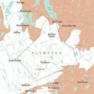
Background imageDigitally Generated Image Collection: MA Plymouth Plympton Vector Road Map

MA Plymouth Plympton Vector Road Map. All source data is in the public domain. U.S. Census Bureau Census Tiger. Used Layers: areawater, linearwater, roads, rails, cousub, pointlm, uac10

Background imageDigitally Generated Image Collection: MA Plymouth Abington Vector Road Map

MA Plymouth Abington Vector Road Map. All source data is in the public domain. U.S. Census Bureau Census Tiger. Used Layers: areawater, linearwater, roads, rails, cousub, pointlm, uac10

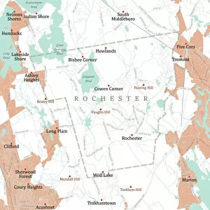
Background imageDigitally Generated Image Collection: MA Plymouth Rochester Vector Road Map

MA Plymouth Rochester Vector Road Map. All source data is in the public domain. U.S. Census Bureau Census Tiger. Used Layers: areawater, linearwater, roads, rails, cousub, pointlm, uac10

Background imageDigitally Generated Image Collection: MA Plymouth Bridgewater Town Vector Road Map

MA Plymouth Bridgewater Town Vector Road Map. All source data is in the public domain. U.S. Census Bureau Census Tiger. Used Layers: areawater, linearwater, roads, rails, cousub, pointlm, uac10

Background imageDigitally Generated Image Collection: MA Plymouth Carver Vector Road Map

MA Plymouth Carver Vector Road Map. All source data is in the public domain. U.S. Census Bureau Census Tiger. Used Layers: areawater, linearwater, roads, rails, cousub, pointlm, uac10

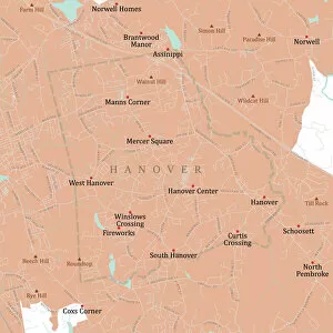
Background imageDigitally Generated Image Collection: MA Plymouth Hanover Vector Road Map

MA Plymouth Hanover Vector Road Map. All source data is in the public domain. U.S. Census Bureau Census Tiger. Used Layers: areawater, linearwater, roads, rails, cousub, pointlm, uac10

Background imageDigitally Generated Image Collection: MA Plymouth Middleborough Vector Road Map

MA Plymouth Middleborough Vector Road Map. All source data is in the public domain. U.S. Census Bureau Census Tiger. Used Layers: areawater, linearwater, roads, rails, cousub, pointlm, uac10

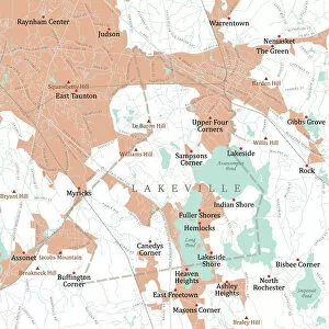
Background imageDigitally Generated Image Collection: MA Plymouth Lakeville Vector Road Map

MA Plymouth Lakeville Vector Road Map. All source data is in the public domain. U.S. Census Bureau Census Tiger. Used Layers: areawater, linearwater, roads, rails, cousub, pointlm, uac10

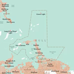
Background imageDigitally Generated Image Collection: MA Plymouth Hull Vector Road Map

MA Plymouth Hull Vector Road Map. All source data is in the public domain. U.S. Census Bureau Census Tiger. Used Layers: areawater, linearwater, roads, rails, cousub, pointlm, uac10

Background imageDigitally Generated Image Collection: MA Plymouth Mattapoisett Vector Road Map

MA Plymouth Mattapoisett Vector Road Map. All source data is in the public domain. U.S. Census Bureau Census Tiger. Used Layers: areawater, linearwater, roads, rails, cousub, pointlm, uac10

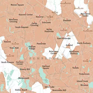
Background imageDigitally Generated Image Collection: MA Plymouth Pembroke Vector Road Map

MA Plymouth Pembroke Vector Road Map. All source data is in the public domain. U.S. Census Bureau Census Tiger. Used Layers: areawater, linearwater, roads, rails, cousub, pointlm, uac10

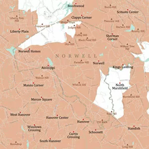
Background imageDigitally Generated Image Collection: MA Plymouth Norwell Vector Road Map

MA Plymouth Norwell Vector Road Map. All source data is in the public domain. U.S. Census Bureau Census Tiger. Used Layers: areawater, linearwater, roads, rails, cousub, pointlm, uac10

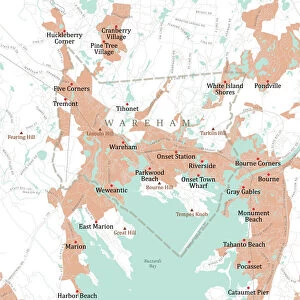
Background imageDigitally Generated Image Collection: MA Plymouth Wareham Vector Road Map

MA Plymouth Wareham Vector Road Map. All source data is in the public domain. U.S. Census Bureau Census Tiger. Used Layers: areawater, linearwater, roads, rails, cousub, pointlm, uac10

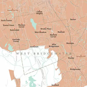
Background imageDigitally Generated Image Collection: MA Plymouth West Bridgewater Vector Road Map

MA Plymouth West Bridgewater Vector Road Map. All source data is in the public domain. U.S. Census Bureau Census Tiger. Used Layers: areawater, linearwater, roads, rails, cousub, pointlm, uac10


All Professionally Made to Order for Quick Shipping

"Exploring the Boundless World of Digitally Generated Images: From Snellen Charts to Capybaras and Everything In Between" A black and white illustration of a Snellen chart, showcasing the precision of digitally generated images. Colour coded jackets for greyhound race dogs, brought to life through digital artistry that adds vibrancy to the racing scene. An adrenaline-pumping waterskiing slalom course captured in a digitally enhanced image, highlighting the thrill of extreme sports. A map of the world with meticulously drawn lines marking boundaries of tectonic plates, illustrating how technology can visually depict complex geological phenomena. A snooker player gracefully maneuvering around a table in an intricately detailed digital illustration that captures every moment of this beloved sport. Costa Rica's beauty comes alive in a vector map created using advanced digital techniques, allowing us to explore its diverse landscapes from coastlines to rainforests. Water polo players immersed in action within a swimming pool while referees closely monitor each move - all brought together through stunning digital imagery. Navigating Ipswich Suffolk UK becomes effortless with a city street map crafted using cutting-edge technology, making it easier for residents and visitors alike to find their way around town. The netball goal ring and net stand out vividly against vibrant backgrounds thanks to digitally rendered images that enhance this popular team sport's visual appeal. Witness the elegance and intensity as a Kendo martial arts fighter holds his sword before him in an awe-inspiring digital illustration capturing both strength and gracefulness simultaneously. Delve into South America's wildlife with a captivating digital portrayal of the Capybara - showcasing its unique characteristics as one of nature's fascinating creatures. Four scullers rowing together seamlessly on a quad boat come alive through digitally enhanced imagery, emphasizing teamwork and synchronization on waterways worldwide.