
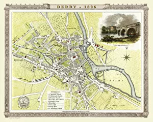
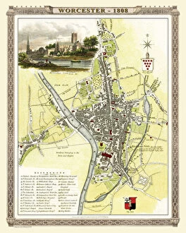
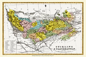
Historic Map Collection
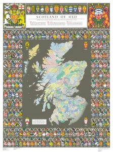
Step back in time with The Historic Map of Scotland, "Scotland of Old, " and explore the rich history that lies within its borders


All Professionally Made to Order for Quick Shipping
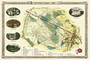
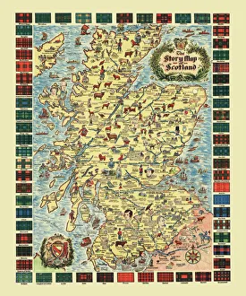
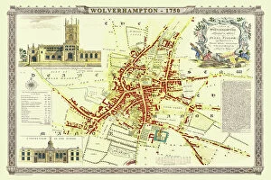
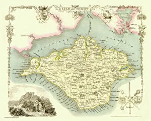
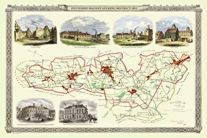
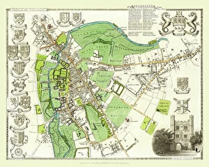
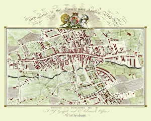
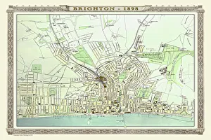
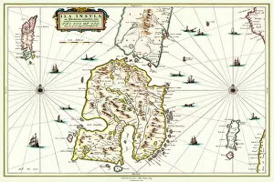
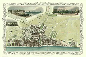
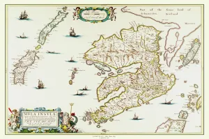
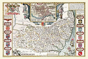
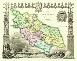
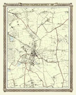
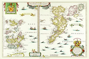
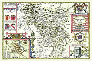
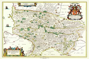
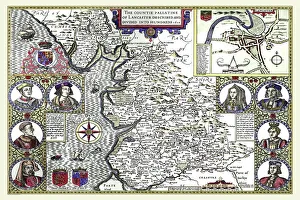
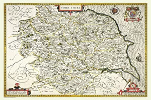
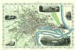
Step back in time with The Historic Map of Scotland, "Scotland of Old, " and explore the rich history that lies within its borders. This old map takes you on a journey through ancient towns and villages, showcasing the beauty and charm of Scotland's past. Delve into the enchanting world of Sutton Park near Sutton Coldfield with an Old Map from 1885. Uncover hidden paths and forgotten landmarks as you navigate this historical treasure. Immerse yourself in a Pictorial Story Map of Scotland, where each stroke tells a tale of battles fought, castles conquered, and legends born. Let your imagination run wild as you traverse this visual masterpiece. Travel back to Wolverhampton in 1750 with Isaac Taylor's Old Map. Witness the birthplace of industry come alive as you trace the streets that once bustled with trade and innovation. Discover The Isle of Wight like never before through Thomas Moule's Old Map from 1836. Lose yourself amidst picturesque landscapes while uncovering hidden gems scattered across this idyllic island. Unearth Stoke-on-Trent and the Potteries' fascinating history through an Old Map dating back to 1831. Follow the footsteps of potters past as you unravel their stories etched into every street corner. Journey to Islay, Scotland's mystical isle, with Johan Blaeu's captivating Old Map from 1654. Traverse rugged terrains dotted with ancient ruins while immersing yourself in tales whispered by winds long gone by. Transport yourself to Fazeley near Tamworth using an Old Map from 1885. Wander along quaint village lanes lined with charming cottages that have stood for centuries - witnesses to countless stories yet untold. Experience Brighton's vibrant past through John Tallis' intricate depiction on an Old Map from 1851. Stroll along bustling promenades filled with Victorian elegance while soaking up breathtaking coastal views.