Fraud Blocker Skip to main content

Mapping Collection (page 18)

"Exploring the World Through Maps: A Journey of Discovery" Embark on a captivating journey through time and space as we delve into the fascinating world of mapping

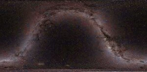
Background imageMapping Collection: Star map C013 / 9941

Star map C013 / 9941
Star map. Image showing a star map of the Milky Way in celestial coordinates. This map shows the relative position of stars in our home galaxy, the Milky Way

Background imageMapping Collection: Star map C013 / 9942

Star map C013 / 9942
Star map. Image showing a star map of the Milky Way in galactic coordinates. This map shows an edge-on view of our home galaxy, the Milky Way, from the inside looking out

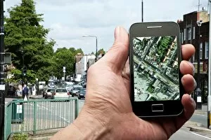
Background imageMapping Collection: Mobile phone use C013 / 9869

Mobile phone use C013 / 9869
Mobile phone use. Close-up of a person viewing a map on a smartphone

Background imageMapping Collection: Geologist logging a quartz vein

Geologist logging a quartz vein
MODEL RELEASED. Geologist taking the GPS reading of a quartz vein. Veins occur when minerals, deposited by water passing through cracks in the rock, crystallise out of solution. Photographed in Kenya

Background imageMapping Collection: Geologist studying a quartz vein C013 / 4547

Geologist studying a quartz vein C013 / 4547
MODEL RELEASED. Geologist studying a quartz vein in the ground. Veins occur when minerals, deposited by water passing through cracks in the rock, crystallise out of solution. Photographed in Kenya

Background imageMapping Collection: Geologist studying a quartz vein C013 / 4545

Geologist studying a quartz vein C013 / 4545
MODEL RELEASED. Geologist studying a quartz vein in the ground. Veins occur when minerals, deposited by water passing through cracks in the rock, crystallise out of solution. Photographed in Kenya

Background imageMapping Collection: Geologist studying a quartz vein C013 / 4548

Geologist studying a quartz vein C013 / 4548
MODEL RELEASED. Geologist studying a quartz vein in the ground. Veins occur when minerals, deposited by water passing through cracks in the rock, crystallise out of solution. Photographed in Kenya

Background imageMapping Collection: Geologist studying a quartz vein C013 / 4546

Geologist studying a quartz vein C013 / 4546
MODEL RELEASED. Geologist studying a quartz vein in the ground. Veins occur when minerals, deposited by water passing through cracks in the rock, crystallise out of solution. Photographed in Kenya

Background imageMapping Collection: Alessandro Malaspina

Alessandro Malaspina
Spanish naval officer and explorer. Commissioned by the Spanish government, from 1789 to 1794 he and Jose de Bustamante y Guerra carried out a scientific expedition throughout the Pacific

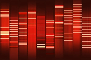
Background imageMapping Collection: Website source code visualisation

Website source code visualisation, computer artwork. This image was created using WEB2DNA software which is able to transform the source code of a website into an image featuring bands and gaps

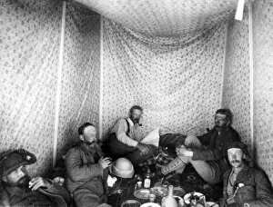
Background imageMapping Collection: Herbert Kitchener and others in Western Palestine

Herbert Kitchener and others in Western Palestine
Herbert Kitchener (later Lord Kitchener, 1850-1916) and others inside their tent whilst on a mapping survey of Western Palestine (Israel, West Bank and Gaza today) for the Palestine Exploration Fund

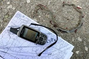
Background imageMapping Collection: GPS device over satellite image, Italy, april

GPS device over satellite image, Italy, april

Background imageMapping Collection: GPS mapping of Dice Snake (Natrix tessellata) dead adult, roadkill providing useful hints

GPS mapping of Dice Snake (Natrix tessellata) dead adult, roadkill providing useful hints on elusive animal presence in given area, Italy, april

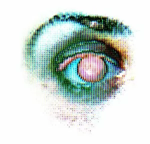
Background imageMapping Collection: Eye scanning

Eye scanning

Background imageMapping Collection: Solar-powered flapping wing

Solar-powered flapping wing. Artwork of the solid state aircraft concept developed for the NASA Institute for Advanced Concepts by researchers at the Ohio Aerospace Institute, USA

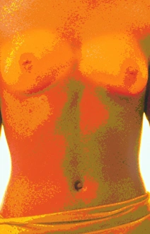
Background imageMapping Collection: Female torso body map

Female torso body map, computer artwork

Background imageMapping Collection: Computer abstract of womans torso, front view

Computer abstract of womans torso, front view
Human body. Computer abstract image of the torso of a woman, in front view

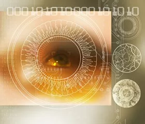
Background imageMapping Collection: Iris scanning

Iris scanning. Conceptual computer artwork of the scanning of the iris of a human eye. Iris scanning images the iris (unique to each individual), the coloured area surrounding the pupil of an eye

Background imageMapping Collection: Head contour map, art

Head contour map, art
Head contour map, computer artwork

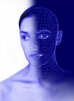
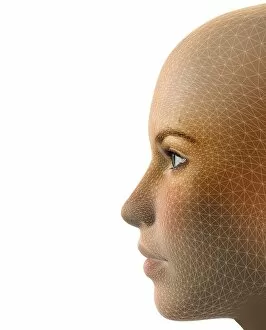
Background imageMapping Collection: Wire-frame face

Wire-frame face. Computer illustration of a womans face half seen in wire-frame

Background imageMapping Collection: Brain map

Brain map. Conceptual computer artwork of a brain with a map of anatomical features overlaid. This could represent the use of scanning techniques in medicine and experimental psychology

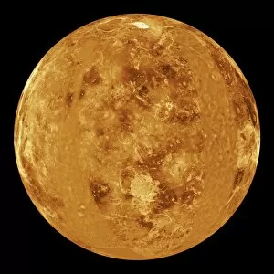
Background imageMapping Collection: Venus, radar map

Venus, radar map
Venus. Synthetic aperture radar map of a hemisphere of Venus centred on the prime meridian (0 degrees longitude). The shading indicates the elevation of the surface relative to the mean planetary

Background imageMapping Collection: Gatwick Airport, UK, aerial image

Gatwick Airport, UK, aerial image
Gatwick Airport, West Sussex, UK, aerial photograph. Gatwick acts as Londons second airport (after Heathrow), despite being some 40 kilometres from the city

Background imageMapping Collection: Buckingham Palace, UK, aerial image

Buckingham Palace, UK, aerial image
Buckingham Palace, London, UK, aerial photograph. The Palace (square, lower left) is the official residence of the British monarch. Its private gardens extend to the left of the Palace

Background imageMapping Collection: Ellis and Liberty Islands, aerial image

Ellis and Liberty Islands, aerial image
Ellis and Liberty Islands, New York, USA, aerial image. Ellis Island (upper right) was the site of the main immigration port into the USA between 1892 and 1954

Background imageMapping Collection: Scoliosis of the back, contour map

Scoliosis of the back, contour map. Computer artwork showing a dorsal (back) view of a human back with scoliosis, with contours showing the shape of the surface

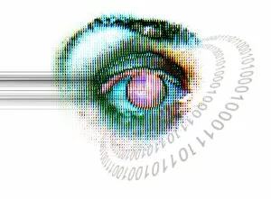
Background imageMapping Collection: Human eye

Human eye, computer artwork

Background imageMapping Collection: Map wheel

Map wheel. This device is used to measure out distances on a map. The route is traced using the wheel, which moves the pointer (top centre). The distance traced is read out from the dial

Background imageMapping Collection: Female body contour map, artwork

Female body contour map, artwork
Female body contour map, computer artwork

Background imageMapping Collection: Normal torso, CT scan

Normal torso, CT scan
Normal torso, coloured frontal computed tomography (CT) scan. This is a scout image showing the bones of the spine (vertebrae, centre)

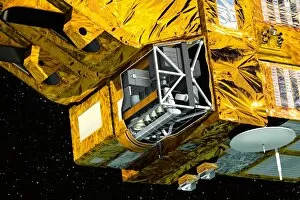
Background imageMapping Collection: Vegetation sensor on SPOT 4, artwork

Vegetation sensor on SPOT 4, artwork

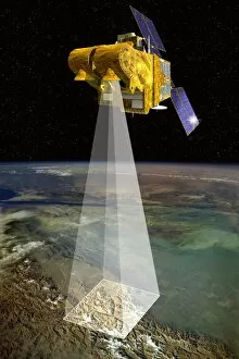
Background imageMapping Collection: SPOT 5 satellite, artwork

SPOT 5 satellite, artwork

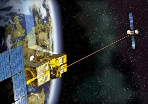
Background imageMapping Collection: SPOT 4 and Artemis satellites, artwork

SPOT 4 and Artemis satellites, artwork

Background imageMapping Collection: Venus Express mission, artwork

Venus Express mission, artwork

Background imageMapping Collection: HRVIR sensor on SPOT 4, artwork

HRVIR sensor on SPOT 4, artwork

Background imageMapping Collection: SPOT 4 satellite, artwork

SPOT 4 satellite, artwork

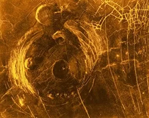
Background imageMapping Collection: Venus, synthetic aperture radar map

Venus, synthetic aperture radar map
This Magellan Radar image of the Venus surafce in January 1991. The large 120 km structure is a socalled corona, the smaller features are called " pancakes" with a diameter of 35

Background imageMapping Collection: SPOT satellites, artwork

SPOT satellites, artwork
SPOT satellites. Artwork of the four of the five SPOT (Satellite Pour l Observation de la Terre) earth observation satellites in Earth orbit, with the Moon at lower left

Background imageMapping Collection: The moon from space

The moon from space. View from a fictional spacecraft flying west of the full Moon, over the Ocean of Storms (Oceanus Procellarum) and Mare Imbrium above

Background imageMapping Collection: Global methane concentration, 2004

Global methane concentration, 2004
Global methane concentration. Map showing the concentration of methane (CH4) gas in the stratosphere (about 10-50 kilometres in altitude) on 25th July 2004

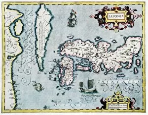
Background imageMapping Collection: 17th century map of Japan

17th century map of Japan
Japan, 17th century Dutch map. These lands had not yet been accurately mapped by Europeans, and the islands of Japan (centre to centre right) are much distorted

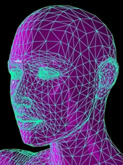
Background imageMapping Collection: Facemapping, artwork

Facemapping, artwork
Facemapping. Computer artwork of a grid system layered over a human face in order to create a digitised version of it

Background imageMapping Collection: Biometric recognition, conceptual artwork

Biometric recognition, conceptual artwork
Biometric recognition, conceptual computer artwork

Background imageMapping Collection: Polar orbit diagram

Polar orbit diagram

Background imageMapping Collection: Medieval geographer

Medieval geographer. Artwork of a 15th century geographer using a pair of dividers to measure distances on a terrestrial globe showing the known regions of the Earth

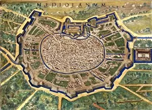
Background imageMapping Collection: 16th Century Plan of Milan

16th Century Plan of Milan
16th century plan of Milan. Details from the map of

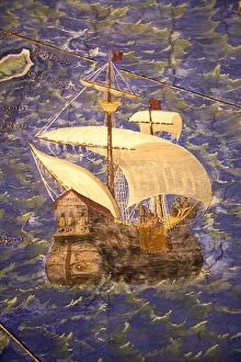
Background imageMapping Collection: 16th Century Galleon

16th Century Galleon
16th century galleon in the Gulf of Porto. Detail from a map of Corsica in the Gallery of Maps in the Vatican Museum. These maps were commissioned between 1578

Background imageMapping Collection: Walk-on street map in Paris

Walk-on street map in Paris
A map on a pavement in Paris, near the Hotel de Ville. The " Main Verte" (green hand) logo with the watering can


All Professionally Made to Order for Quick Shipping

"Exploring the World Through Maps: A Journey of Discovery" Embark on a captivating journey through time and space as we delve into the fascinating world of mapping. From the iconic Wimbledon tennis complex in the UK to the enchanting Theatre of the Empire of Great Britain, these maps offer glimpses into diverse landscapes and historical narratives. Transport yourself back to 1560 Mexico with Alonso de Santa Cruz's Map of Tenochtitlan, where you can trace the ancient streets and waterways that once thrived in this vibrant city. Or marvel at Durer's intricate world map from 1515, which showcases an era when cartography was still in its infancy but held immense potential for exploration. Step foot onto 16th-century Florence with a meticulously detailed plan that captures every nook and cranny of this Renaissance gem. Meanwhile, an Italian map from 1537 unveils Corfu's allure nestled within Greece's Ionian Sea – a testament to both artistic skill and geographical accuracy. As we venture further into history, a stunning 17th-century European map unfolds before our eyes, revealing political boundaries that have since evolved but continue to shape our present-day understanding. Witness Dubrovnik's pre-1667 earthquake charm through an intricately crafted depiction that preserves its architectural grandeur. The allure extends beyond terrestrial realms as well; explore Bermuda’s beauty through a vividly colored engraving or immerse yourself in Roman glory with "A New Map of the Roman Empire. " These maps not only guide us geographically but also provide insights into cultural heritage and societal dynamics. Finally, let us contemplate White Matter Fibres' artwork from 1930 – an abstract representation reminding us that mapping transcends physical borders too. It invites us to explore neural pathways within our own minds while appreciating how cartography has become intertwined with human cognition throughout history. Intricate lines, vibrant colors, and meticulous details come together on these maps, inviting us to embark on a visual and intellectual adventure.