Fraud Blocker Skip to main content

Maps Collection (page 6)

Maps have always been a fascinating window into the past, allowing us to explore and understand the world as it once was

Background imageMaps Collection: Plan of Carbrook Recreation Ground, 1897

Plan of Carbrook Recreation Ground, 1897
Image from Sheffield City Council, General Purposes and Parks Committee - Plans and Description of Parks and Recreation Grounds (Local Studies Library 352.7 SQ)

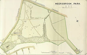
Background imageMaps Collection: Plan of Meersbrook Park, 1897

Plan of Meersbrook Park, 1897
Image from Sheffield City Council, General Purposes and Parks Committee - Plans and Description of Parks and Recreation Grounds (Local Studies Library 352.7 SQ)

Background imageMaps Collection: Whittaker / Canis Major

Whittaker / Canis Major
Including the Canis Major (dog) and Lepus (hare) constellation

Background imageMaps Collection: Gallivanting

Gallivanting
Rosana Laiz Blursbyai

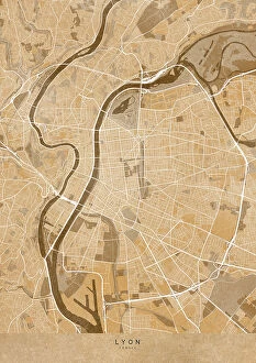
Background imageMaps Collection: Sepia vintage map of Lyon France

Sepia vintage map of Lyon France
Rosana Laiz Blursbyai

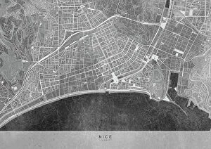
Background imageMaps Collection: Gray vintage map of Nice downtown France

Gray vintage map of Nice downtown France
Rosana Laiz Blursbyai

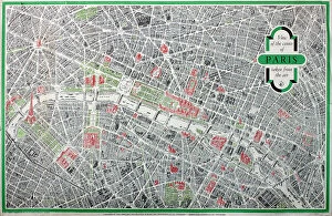
Background imageMaps Collection: Poster, map of the City of Paris

Poster, map of the City of Paris
Poster, three-dimensional map of the City of Paris Date: 1958

Background imageMaps Collection: Map of Knossos buildings surrounding the Palace, circa 1903

Map of Knossos buildings surrounding the Palace, circa 1903
7310021 Map of Knossos buildings surrounding the Palace, circa 1903 by Fyfe, Theodore (1875-1945); 31x100 cm; Ashmolean Museum, University of Oxford

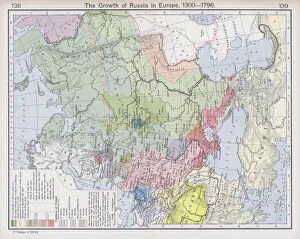
Background imageMaps Collection: The Growth of Russia in Europe, 1300-1796 (colour litho)

The Growth of Russia in Europe, 1300-1796 (colour litho)
6016385 The Growth of Russia in Europe, 1300-1796 (colour litho) by Shepherd, William R. (1871-1934); Private Collection; (add.info.: The Growth of Russia in Europe, 1300-1796)

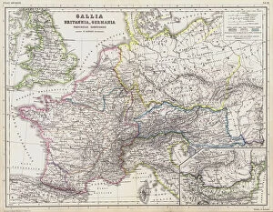
Background imageMaps Collection: Map of the Roman provinces of Gaul, Britannia and Germania (coloured engraving)

Map of the Roman provinces of Gaul, Britannia and Germania (coloured engraving)
7148263 Map of the Roman provinces of Gaul, Britannia and Germania (coloured engraving) by Kiepert, Heinrich (1818-99); Private Collection; (add.info.: Map of the Roman provinces of Gaul)

Background imageMaps Collection: The Carolingian and Byzantine Empires and the Califate about 814 (colour litho)

The Carolingian and Byzantine Empires and the Califate about 814 (colour litho)
6016339 The Carolingian and Byzantine Empires and the Califate about 814 (colour litho) by Shepherd, William R. (1871-1934); Private Collection; (add.info)

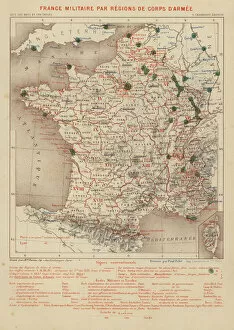
Background imageMaps Collection: France Militaire par Regions de Corps d Armee (engraving)

France Militaire par Regions de Corps d Armee (engraving)
7158174 France Militaire par Regions de Corps d Armee (engraving) by French School, (19th century); Private Collection; (add.info.: France Militaire par Regions de Corps d Armee)

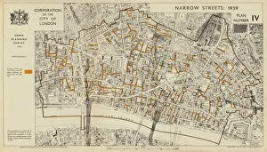
Background imageMaps Collection: Narrow streets less than 30 feet wide, City of London, 1939 (colour litho)

Narrow streets less than 30 feet wide, City of London, 1939 (colour litho)
7201423 Narrow streets less than 30 feet wide, City of London, 1939 (colour litho) by English School, (20th century); Private Collection; (add.info)

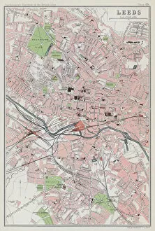
Background imageMaps Collection: Leeds (colour litho)

Leeds (colour litho)
3648442 Leeds (colour litho) by English School, (20th century); Private Collection; (add.info.: Leeds. Illustration for The Survey Gazetteer of the British Isles, Topographical)

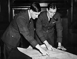
Background imageMaps Collection: Some of the pilots of the Coastal Command of the Royal Air Force who took part in

Some of the pilots of the Coastal Command of the Royal Air Force who took part in the location of the Altmark during the Second World War. February 1940

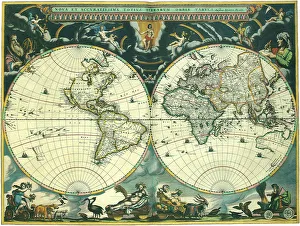
Background imageMaps Collection: Nova et Accuratissima Totius Terrarum

Nova et Accuratissima Totius Terrarum
Double Hemisphere Map 1662, Blaeu, Joan

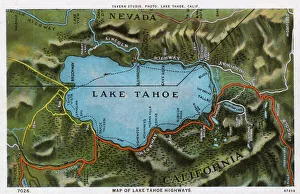
Background imageMaps Collection: Map of the Lake Tahoe area, Nevada and California, USA

Map of the Lake Tahoe area, Nevada and California, USA, showing the highway system. Date: 1922

Background imageMaps Collection: London Fire Brigades organisation and equipment

London Fire Brigades organisation and equipment
A selection of small drawings of the events that take place in 1937, when a call by a pedestrian seeing flames and smoke to the very end when the fire has been put out

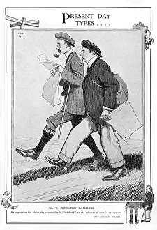
Background imageMaps Collection: Present Day Types - Week-End Ramblers

Present Day Types - Week-End Ramblers
Two chaps with sturdy walking boots, pipes in mouth, set off on a countryside ramble while consulting their maps. Date: 1914

Background imageMaps Collection: Naval manoeuvres on East Coast by G. H. Davis

Naval manoeuvres on East Coast by G. H. Davis
The naval manoeuvres of 1913: the varying fortunes of the East Coast raiding parties. How the Humber Ports were raided last week by the Red fleet

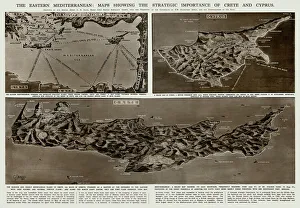
Background imageMaps Collection: Strategic importance of Crete and Cyprus by G. H. Davis

Strategic importance of Crete and Cyprus by G. H. Davis
The Eastern Mediterranean: maps showing the strategic importance of Crete and Cyprus during the Second World War. Date: 1941

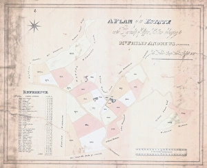
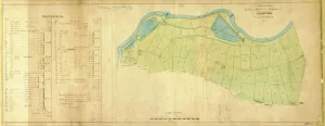
Background imageMaps Collection: A Plan of an Estate in the Township of Upper Hallam belonging to Mr Philip Andrews, 1830

A Plan of an Estate in the Township of Upper Hallam belonging to Mr Philip Andrews, 1830
Surveyor: John Leather.Original at Sheffield Local Studies Library:s (9) 1 L

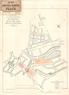
Background imageMaps Collection: Plan of part of the Town of Sheffield shewing the existing markets

Plan of part of the Town of Sheffield shewing the existing markets, the property of His Grace the Duke of Norfolk
Scale: 400 yards to 6.3 inches.Surveyors: J G Weightman and M E Hadfield.Original at Sheffield Local Studies Library:s 16 L

Background imageMaps Collection: A map of the lands and works in the north park of Sheffield Park, 1788

A map of the lands and works in the north park of Sheffield Park, 1788
Original at Sheffield ACM/MAPS/SheD/737

Background imageMaps Collection: Barcelona (19th c. ). Geometrical map, by Jos項

Barcelona (19th c. ). Geometrical map, by Jos項
Barcelona (19th c.). Geometrical map, by Jos頍 as y Vila. SPAIN. Barcelona. Historical Archive of Barcelona

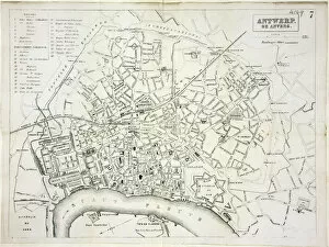
Background imageMaps Collection: Map of Antwerp

Map of Antwerp
Map of the city of Antwerp, Belgium Date: 19th century

Background imageMaps Collection: Map of Warsaw

Map of Warsaw
Map of the city of Warsaw, Poland from 1862 Date: 1862

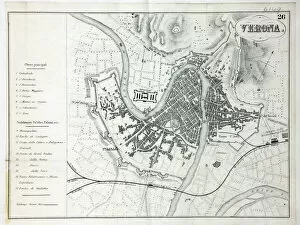
Background imageMaps Collection: Map of Verona

Map of Verona
Map of the city of Verona, Italy Date: 19th century

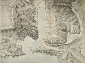
Background imageMaps Collection: Crimean War

Crimean War

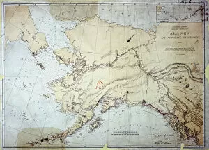
Background imageMaps Collection: Alaska

Alaska, US Coast Survey, America 1869 Date: 1869

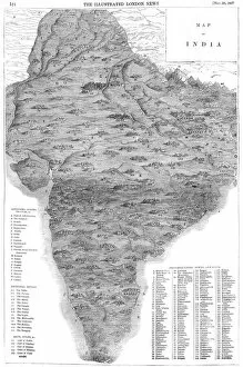
Background imageMaps Collection: Map of India

Map of India
A map of India in 1857 (the year of the Indian Mutiny) showing the kingdoms, states and provinces; the principal rivers; the bays and gulfs; and the principal cities, towns and forts

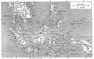
Background imageMaps Collection: Map of Malaysia 1908

Map of Malaysia 1908
A map showing all the islands that make up Malaysia Date: 1908

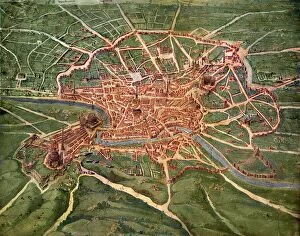
Background imageMaps Collection: 16th Century Plan of Rome

16th Century Plan of Rome
16th century plan of Rome. Details from the map of Latium et Sabina (Southern Lazio), in the Gallery of Maps in the Vatican Museum.The Gallery of Maps holds maps which were commissioned between 1578

Background imageMaps Collection: Map of Vicksburg

Map of Vicksburg, Mississippi, during the US Civil War when Ulyssess Grant and his army of the Tennessee drove the Confederate army of John C Pemberton back to Vicksburg and besieged the city

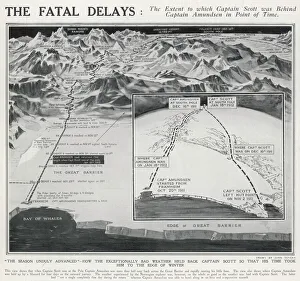
Background imageMaps Collection: How Bad Weather held back Captain Scott

How Bad Weather held back Captain Scott
A map showing the different routes taken by the Norwegian team led by Roald Amundsen and the British team led by Captain Robert Falcon Scott towards the South Pole in 1911/12

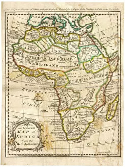
Background imageMaps Collection: MAP / AFRICA 1842

MAP / AFRICA 1842
Map of Africa

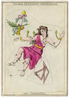
Background imageMaps Collection: Andormeda Star Map

Andormeda Star Map
Andromeda (Gloria Federici), in chains, plus triangles constellation

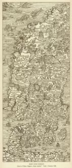
Background imageMaps Collection: Map / Scandinavia 1539

Map / Scandinavia 1539
Map of Norway, Finland, Sweden and Denmark

Background imageMaps Collection: MAP / EUROPE 1763

MAP / EUROPE 1763
Map of Europe

Background imageMaps Collection: MAP / AFRICA 1763

MAP / AFRICA 1763
Map of Africa

Background imageMaps Collection: World Map / Pomponius Mela

World Map / Pomponius Mela
A world map according to Pomponius Mela, showing Europe, Africa, Asia, and the rest in the lower half

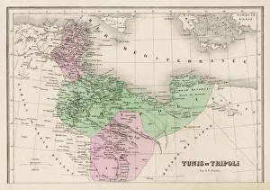
Background imageMaps Collection: Map / North Africa 19C

Map / North Africa 19C
Tunisia and Tripoli (now largely Libya)

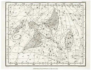
Background imageMaps Collection: Whittaker Star Maps 11

Whittaker Star Maps 11
Including Cygnus, Lacerta and Lyra

Background imageMaps Collection: Map of Gard, France

Map of Gard, France
GARD A Map surrounded by the Pont du Gard, a portrait of poet and writer Jean-Pierre Claris De Florian (1755-1794) and the coat of arms

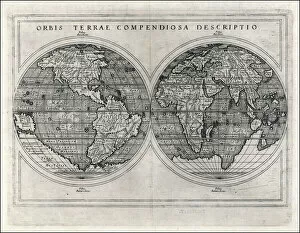
Background imageMaps Collection: World Map 1587

World Map 1587
Mercators projection, with parallel latitudinals, mentioning recent navigations such as Magellan

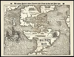
Background imageMaps Collection: Maps / Americas 1540

Maps / Americas 1540
Map showing the discoveries by explorers during the first half-century after Columbus : note the confusion of India, Japan (Zipangri) and China (Cathay), & the Hesperides

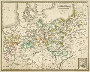
Background imageMaps Collection: Map / Europe / Germany 1827

Map / Europe / Germany 1827
Map of Germany (Prussia) showing the various nation states

Background imageMaps Collection: 14th century World Map

14th century World Map according to the Grandes Chroniques de Saint-Denis


All Professionally Made to Order for Quick Shipping

Maps have always been a fascinating window into the past, allowing us to explore and understand the world as it once was. From the intricate details of an ancient Greek map to the vibrant landscapes of Jamaica, each map tells its own unique story. Take a journey back in time with a Map of Ancient Greece, where you can trace the footsteps of philosophers and warriors alike. Discover the birthplace of democracy and marvel at the city-states that shaped Western civilization. Venture further across continents with Maps showcasing the vastness of empires like Britain's. Explore territories under British rule through a Map of the British Empire or delve into Asia's history with a Map highlighting the mighty Mongol Empire. Uncover remnants of one of history's greatest civilizations with a Map depicting the grandeur and reach of Rome. Witness how this powerful empire spanned across Europe, Africa, and Asia, leaving behind an indelible mark on human history. During times filled with turmoil and conflict, maps served as crucial tools for understanding war efforts. The Daily Mail War Map from World War I provides insights into battlefronts while WW2 posters display strategic plans like never before - including those detailing activities specific to divisions such as 52 (Lowland) Division or mapping out positions held by troops in The British Army. Closer to home lies Isle Of Wight - its beauty captured perfectly on a detailed map inviting exploration along its stunning coastline. Meanwhile, travel even further east to discover ancient Persian splendor through an intricately designed Persian Empire map. For those seeking nostalgia or tracing ancestral roots, immerse yourself in Cornwall C1857's historical charm via an antique map capturing its essence during that era. From ancient civilizations to modern-day conflicts and everything in between – they can not just pieces of paper but gateways into our collective pasts. They hold stories waiting to be unraveled by curious minds eager for knowledge about our ever-changing world throughout time.