
Routes Collection
"Tracing the Pathways: Exploring Routes through Time and Space" Embark on a captivating journey as we delve into the fascinating world of routes


All Professionally Made to Order for Quick Shipping
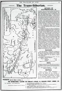
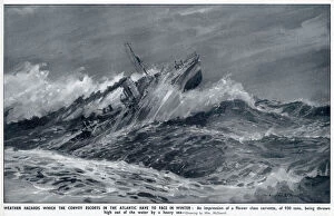
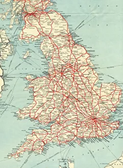
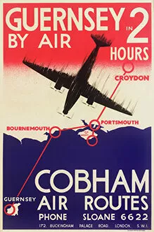
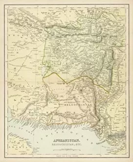
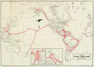
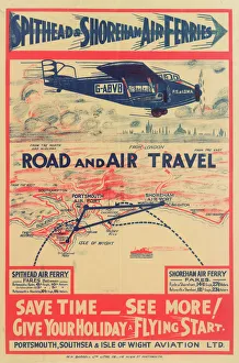
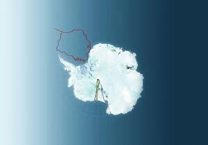
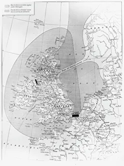
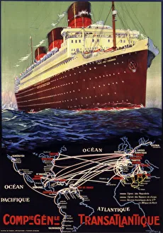
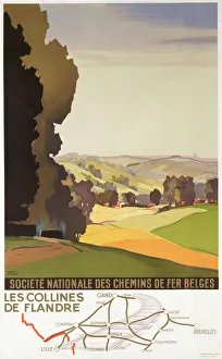
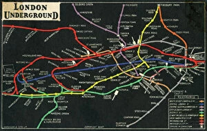
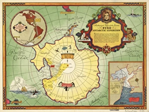
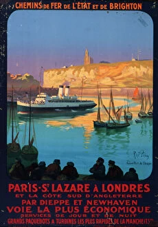
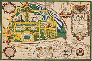
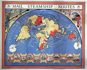
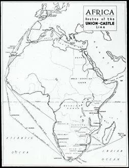
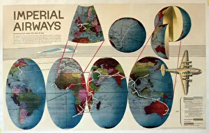
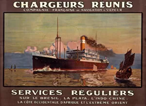
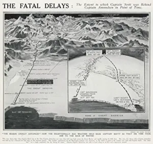
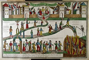
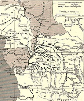
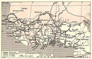
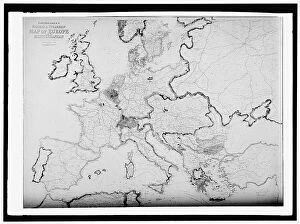
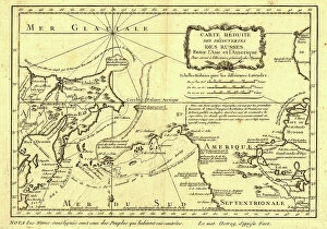
"Tracing the Pathways: Exploring Routes through Time and Space" Embark on a captivating journey as we delve into the fascinating world of routes, where maps serve as gateways to exploration. From the intricate British Railways network map of the 1950s to the enchanting Trans-Siberian Railway depicted in a vintage engraving from J. Bartholomew & Co. , these routes unveil tales of connectivity and adventure. Transport yourself back to c. 1920 with a mesmerizing map showcasing the legendary Trans-Siberian Railway, an engineering marvel that spans continents and cultures. Meanwhile, an intriguing glimpse into Afghanistan's past unfolds through a historical map from the 1860s, revealing ancient trade routes etched across its rugged terrain. As air travel took flight, Cobham Air Routes Poster captures our imagination with promises of soaring above clouds towards new horizons. The Pacific Line Poster invites us aboard luxurious ocean liners that once sailed vast distances, connecting distant lands like never before. Unveiling global possibilities, Pan American Airways route map showcases intercontinental connections that revolutionized travel in ways unimaginable just decades ago. Spithead & Shoreham Air Ferries Poster takes us closer to home but no less thrillingly; it reminds us how even short flights can open up worlds of opportunity. Beyond land and sky lies another dimension – underwater passages guarded by WW1 naval blockades that shaped history's course forevermore. Compagnie Generale Transatlantique beckons adventurers towards transoceanic voyages while Belgian Railway Poster entices explorers to uncover hidden treasures amidst Flanders' rolling hills. Intriguingly different yet equally captivating are Antarctic exploration route maps which reveal brave souls who dared venture into icy unknowns for scientific discovery and human triumph against nature's harshest elements. Lastly, immerse yourself in Franco-British Exhibition - London Underground plan.