
Greetings Card > Fine Art Finder > Schools > German School
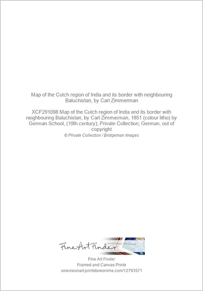
Greetings Card : Map of the Cutch region of India and its border with neighbouring Baluchistan, by Carl Zimmerman


Resolution may be poor at this size (59 DPI)
![]()
Cards from Fine Art Finder
Map of the Cutch region of India and its border with neighbouring Baluchistan, by Carl Zimmerman
XCF291098 Map of the Cutch region of India and its border with neighbouring Baluchistan, by Carl Zimmerman, 1851 (colour litho) by German School, (19th century); Private Collection; German, out of copyright
Media ID 12793571
© www.bridgemanimages.com
Boundaries Boundary British Empire British Raj Colony Geographic Gulf Mapping Rann Region State Territory
Greetings Card (7"x5")
Add a touch of history and culture to your greetings with our unique Map of the Cutch Region of India and its border with neighbouring Baluchistan card from Media Storehouse. This exquisite design, featuring a vintage map by Carl Zimmerman from the 19th century, showcases the rich geographical details of the region. The intricate borderlines and colorful topography make for an eye-catching and educational card that is sure to impress. Perfect for history enthusiasts, travelers, or anyone looking to add a touch of sophistication to their correspondence.
Folded Greeting Cards (12.5x17.5 cm) have a laminate finish and are supplied with an envelope. The front and inside can be personalised with text in a selection of fonts, layouts and colours.
Greetings Cards suitable for Birthdays, Weddings, Anniversaries, Graduations, Thank You and much more
Estimated Product Size is 17.5cm x 12.5cm (6.9" x 4.9")
These are individually made so all sizes are approximate
Artwork printed orientated as per the preview above, with landscape (horizontal) or portrait (vertical) orientation to match the source image.
EDITORS COMMENTS
This print showcases a remarkable map titled "Map of the Cutch region of India and its border with neighboring Baluchistan" by Carl Zimmerman. Created in 1851, this colorful lithograph is a testament to the meticulous artistry and skillful cartography of the German School during the 19th century. The map provides an intricate depiction of the Cutch region in India, highlighting its borders with Baluchistan. It offers a fascinating glimpse into the geographic boundaries of this area within the British Empire's dominion during that era. With its detailed representation, it serves as both an educational tool and a historical artifact. As we explore this image further, we are transported back to a time when colonial powers were actively mapping territories across Asia. The presence of British Raj influences can be observed on this map, reflecting their control over these regions at that time. Notably, this photograph print from Fine Art Finder allows us to appreciate not only Zimmerman's expertise but also his contribution to our understanding of Indian geography. It reminds us how maps have played an essential role in shaping our perception and knowledge about different parts of the world throughout history.
MADE IN AUSTRALIA
Safe Shipping with 30 Day Money Back Guarantee
FREE PERSONALISATION*
We are proud to offer a range of customisation features including Personalised Captions, Color Filters and Picture Zoom Tools
SECURE PAYMENTS
We happily accept a wide range of payment options so you can pay for the things you need in the way that is most convenient for you
* Options may vary by product and licensing agreement. Zoomed Pictures can be adjusted in the Cart.


