Home > Africa > Egypt > Maps
Isle of Wight PO31 8 Map

![]()
Wall Art and Photo Gifts from Map Marketing
Isle of Wight PO31 8 Map
Postcode Sector Map of Isle of Wight PO31 8
Media ID 19976638
Albert Road Baring Road Battery Road Bay View Road Charles Road Church Lane Church Road Churchill Close Churchill Road Cliff Road Coronation Avenue Cow Lane Cranleigh Gardens Edinburgh Close Enterprise Way Esplanade Green Lane Greenways Hilton Road Horseshoe Close Isle Of Wight Jordan Close Lammas Close Mariners Way Marsh Road Mornington Road Mountbatten Avenue Newport Road Northwood Oxford Street Parklands Avenue Pine Tree Close Queens Road Shore Road The Avenue The Dell The Ridge Tilbury Road Uplands Road Ward Avenue Westway Westwood Close Winston Road Woodside Close Woodvale Road Worsley Road Gurnard
FEATURES IN THESE COLLECTIONS
> Africa
> Egypt
> Related Images
> Animals
> Birds
> Passerines
> Finches
> Brambling
> Animals
> Birds
> Waterfowl
> Ducks
> Mallard
> Animals
> Farm
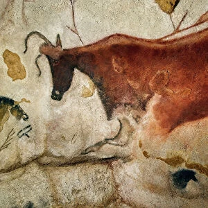
> Cattle
> Related Images
> Animals
> Fishes
> G
> Guppy
> Animals
> Fishes
> G
> Gurnard
> Arts
> Artists
> B
> James Bayes
> Arts
> Artists
> C
> James Charles
> Arts
> Artists
> C
> King Charles
> Map Marketing
> Postcode Sector Maps
> PO - Portsmouth
MADE IN AUSTRALIA
Safe Shipping with 30 Day Money Back Guarantee
FREE PERSONALISATION*
We are proud to offer a range of customisation features including Personalised Captions, Color Filters and Picture Zoom Tools
SECURE PAYMENTS
We happily accept a wide range of payment options so you can pay for the things you need in the way that is most convenient for you
* Options may vary by product and licensing agreement. Zoomed Pictures can be adjusted in the Cart.