Fraud Blocker Skip to main content

Home > Europe > Austria > Maps

Map of Central Europe, World War One

Map of Central Europe, World War One
Sold 2
In Stock
We accept all major credit cards

Mary Evans Picture Library Photo Prints and Wall Art

Map of Central Europe, World War One

Map of Central Europe in World War One, showing the Principal Theatre of War. Date: World War One. Mary Evans Picture Library makes available wonderful images created for people to enjoy over the centuries. © Mary Evans Picture Library/PHILIP TALMAGE

Media ID 14125848

Austria Countries Denmark Holland Hungary Maps

FEATURES IN THESE COLLECTIONS

> Europe > Austria > Maps

> Europe > Austria > Posters

> Europe > Austria > Related Images

> Europe > Belgium > Maps

> Europe > Belgium > Posters

> Europe > Belgium > Related Images

> Europe > Denmark > Maps

> Europe > Denmark > Posters

> Europe > Denmark > Related Images

> Europe > France > Maps

SECURE PAYMENTS
We happily accept a wide range of payment options so you can pay for the things you need in the way that is most convenient for you

MADE IN AUSTRALIA
Safe Shipping with 30 Day Money Back Guarantee

FREE PERSONALISATION
We are proud to offer a range of customisation including Cropping, Captions, and Filters. Zoom Cropping can be adjusted in the Basket.


EDITORS COMMENTS

This map print depicts Central Europe during the tumultuous period of World War One, from 1914 to 1918. The intricate details of the map reveal the principal theatre of war, with Germany, Austria-Hungary, and their allies occupying the eastern and central parts, while France, Belgium, Holland, and their allies hold the western front. Denmark, situated to the north, remained neutral throughout the conflict. The map serves as a poignant reminder of the complex geopolitical landscape of the time, as well as the devastating impact of the war on European countries. The intricate borders and territorial claims that once defined this region were redrawn, leading to significant political and social upheaval. The map's title, "Map of Central Europe in World War One," is inscribed in elegant script at the top, while the date range, "1914-1918," is displayed prominently at the bottom. The map's historical significance is further emphasized by the use of shading to highlight the various theatres of war and the inclusion of an inset map of the Eastern Front. As we study this map, we are transported back in time to an era of profound change and upheaval. The map serves as a visual testament to the sacrifices made by millions of people during the war, and a reminder of the enduring importance of peace and diplomacy in resolving international conflicts.


Framed Prints

Step back in time with our stunning Framed Prints from the Media Storehouse collection, featuring this captivating Map of Central Europe during World War One. Meticulously sourced from Mary Evans Prints Online, this rights-managed image provides an intriguing glimpse into the Principal Theatre of War during this pivotal historical period. This beautifully framed print makes for an exceptional addition to any office, library, or history enthusiast's home, transporting you back to the events of World War One with every glance.


Photo Prints

Discover history through the lens with our exclusive range of Photographic Prints from Media Storehouse. This captivating image, "Map of Central Europe, World War One" by Rights Managed from Mary Evans Prints Online, offers a unique perspective of the Principal Theatre of War during the tumultuous era of World War One. Transport yourself back in time as you explore the intricate details of this historical map, meticulously documenting the battlefields and borders that shaped the course of the war. Each print is produced using high-quality materials and vibrant, long-lasting colors to bring history to life in your home or office. Order now and add a touch of history to your space.


Poster Prints

"Step back in time with our captivating Map of Central Europe during World War One from the Media Storehouse collection. This historic poster print, sourced from Mary Evans Prints Online, showcases an intricate and detailed representation of the Principal Theatre of War during this pivotal period in history. Perfect for history enthusiasts, educators, or anyone with a passion for vintage maps, this poster print adds a touch of nostalgia and depth to any space. Rights Managed through Media Storehouse ensures you have the exclusive use of this high-quality image for your personal or commercial projects. Bring history to life with this stunning and authentic addition to your collection."


Jigsaw Puzzles

Discover history with our intricately detailed Jigsaw Puzzle from Media Storehouse, featuring a captivating Map of Central Europe during World War One. This historical puzzle, sourced from Mary Evans Prints Online, transports you back in time to the Principal Theatre of War. Immerse yourself in the intricacies of this 100-year-old map, piecing together the geography and events of a pivotal era. Engage your mind, challenge your problem-solving skills, and learn while having fun. Perfect for history enthusiasts, puzzle lovers, or anyone seeking an educational and entertaining activity.

diamond
Made With High Grade Materials
thumb_up
Professional Quality Finish
package_2
Carefully Packed To Aid Safe Arrival

You May Also Like


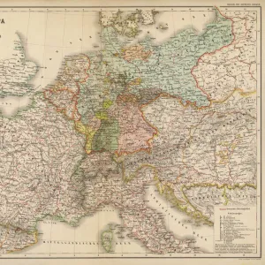
Middle Europe MapMiddle Europe Map
Add to Basket
Map / Europe / Germany 1871Map / Europe / Germany 1871
Add to Basket
Map of Germany - VectorMap of Germany - Vector
Add to Basket
Europe Map C1914Europe Map C1914
Add to Basket
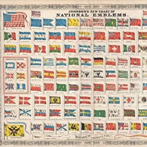
1864, Johnson Chart of the Flags and National Emblems of the World, topography, cartography1864, Johnson Chart of the Flags and National Emblems of the World, topography, cartography
Add to Basket
Daily Mail War Map, WW1Daily Mail War Map, WW1
Add to Basket
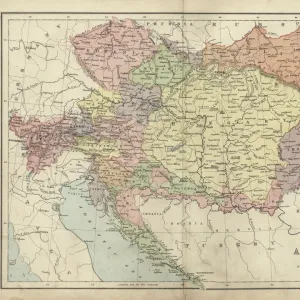
Antique map of Austria Hungary 19th CenturyAntique map of Austria Hungary 19th Century
Add to Basket
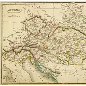
Map / Europe / Austria 1857Map / Europe / Austria 1857
Add to Basket
MAPS / WORLD / 1827MAPS / WORLD / 1827
Add to Basket
Olympics / 1896 StadiumOlympics / 1896 Stadium
Add to Basket
Europe, FranceEurope, France
Add to Basket
PNAT2A-00006PNAT2A-00006
Add to Basket

Gallery Wall Inspiration

Bosnia, dalmatia, istria, croatia, slavonia
Ethnological map of the Austro-Hungarian Empire, lithograph, published in 1897
Budapest city map
Budapest city map 1895
Antique map of Austria Hungary 19th Century
Austro-Hungarian Empire, Habsburg Monarchy, lithograph, published in 1877
Austria Hungary map 1893
Map of Central Europe, World War One
Antique map of Austrian Empire, 1897, late 19th Century
Map of the German Confederation (1815-1866), lithograph, published in 1897
Balkan Peninsula in 1878, lithograph
Map Of Germany, Bohemia And Hungary, Circa. 1760. From "Atlas De Toutes Les Parties Connues Du Globe Terrestre "By Cartographer Rigobert Bonne. Published Geneva Circa. 1760
Budapest city map
Map of Hungary - Vector
Map illustrating the Brest-Litovsk Treaties, First World War, c1918, (c1920). Creator: Unknown
Map of Third Crusade and Childrens Crusade
Old Map of The World 1879
Austria-Hungary and Neighbouring Lands - Map, 1920. Creator: John Bartholomew & Son
Poland and the Partitions of 1772, 1793 & 1795, (c1920). Creator: John Bartholomew & Son
Bulgarian officers of the newly formed army of Tsar Ferdinand of Bulgaria, from The Pageant of the Century, pub.1934
Map showing the eastern area of the great war (litho)
Map of the peninsula of the Balkans, (Bosnia, Serbia, Moldova, Hungary, Montenegro, Bulgaria, Romania, Greece and Turkey), circa 1870. 19th century lithography
Buda, Hungary
A pictorial map of the First World War in south-east Europe, from The History of the Great War, pub.c. 1919
Map of the Empire of Austria-Hungary, c.1900 (engraving)
Justus Danckers's atlas: Hungary and Greece, c.1688 (coloured engraving)
The Course of the Danube from its Source to its Mouth, based on the most recent memoires of P. Coroneli and S. Sanson, Geographer to the King (colour litho)

Discover Our Collections


Austria Related ImagesAustria Related Images
View Collection
Belgium Related ImagesBelgium Related Images
View Collection
Denmark Related ImagesDenmark Related Images
View Collection
MapsMaps
View Collection
MapsMaps
View Collection
MapsMaps
View Collection
MapsMaps
View Collection
PostersPosters
View Collection
PostersPosters
View Collection
PostersPosters
View Collection


© Copyright Media Storehouse, All Rights Reserved 2003 - 2024
Facebook     Pinterest     Card Payments     Reviews IO