
Town Plan Collection
"Journey through Time


All Professionally Made to Order for Quick Shipping
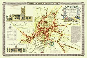
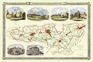
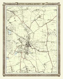
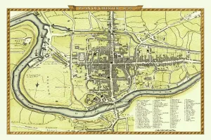
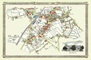
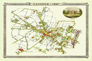
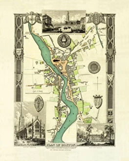
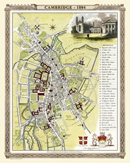
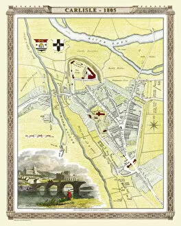
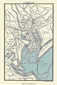
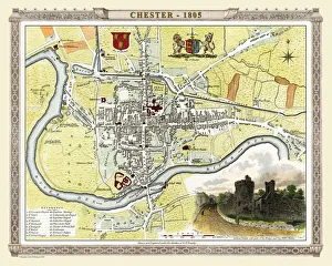
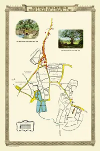
"Journey through Time: Exploring the Fascinating Town Plans of the Past" Step back in time and immerse yourself in the rich history of various towns with these captivating old maps. From Wolverhampton to Amsterdam, each map offers a unique glimpse into the development and evolution of these vibrant communities. The "Old Map of Wolverhampton 1750 by Isaac Taylor" takes us on a visual journey through this bustling town, showcasing its layout and landmarks from centuries ago. Marvel at how much has changed since then. Travel further north to Stoke-on-Trent with the "Old Map of Stoke on Trent and the Potteries 1831. " This intricate map highlights not only the town's streets but also sheds light on its pottery industry, which played a significant role in shaping its identity. Venturing westwards, we discover Sutton Coldfield's transformation over time with an "Old Map of the District of Sutton Coldfield in West Midlands 1887. " Witness how this once rural area evolved into a thriving suburban community. Crossing borders, let your eyes wander across Amsterdam's enchanting streetscape captured in an exquisite "Map of Amsterdam, 1662 (engraving) (b/w photo). " Explore canals that have stood for centuries and imagine life during Holland's Golden Age. Heading towards Carlisle, delve into history with an "Old Map of Carlisle 1805 by Cole and Roper. " Trace ancient roads and fortifications that shaped this border city while contemplating its strategic significance throughout time. Further east lies Cambridge; discover its academic legacy through an "Old Map of City Cambridge 1836 by Thomas Moule. " Uncover hidden corners where renowned scholars once roamed as you navigate through one England's most prestigious university towns. Turning southward brings us to Cardiff – explore its growth from humble beginnings using an "Old Map Cardiff 1890 by A&C Black. " Witness how it transformed from a small market town into the vibrant capital city of Wales.