Canvas Print > Europe > France > Canton > Landes
Canvas Print : Australia Circa 1760. From Atlas De Toutes Les Parties Connues Du Globe Terrestre By Cartographer Rigobert Bonne Published Geneva Circa 1760


![]()
Canvas Prints from Design Pics
Australia Circa 1760. From Atlas De Toutes Les Parties Connues Du Globe Terrestre By Cartographer Rigobert Bonne Published Geneva Circa 1760
Design Pics offers Distinctively Different Imagery representing over 1,500 contributors
Media ID 18196278
© Ken Welsh / Design Pics
18th Australia Bonne Cartography Circa Eighteenth Guinea Holland Joined Land Making Tasmania Diemens
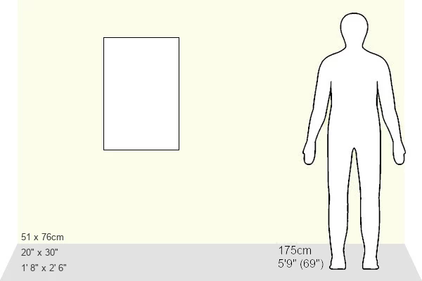
30"x20" (76x51cm) Canvas Print
Step back in time with our exquisite Canvas Print of "Australia Circa 1760" from the Media Storehouse collection. This stunning vintage map, created by renowned cartographer Rigobert Bonne in Geneva around 1760, showcases an intriguing depiction of the Australian continent as it was once known. The rich, textured canvas brings history to life, while the detailed and accurate cartography captivates the viewer. Perfect for adding a unique and educational touch to any room, this Canvas Print is a must-have for history enthusiasts, collectors, or anyone seeking a timeless piece of art.
Delivered stretched and ready to hang our premium quality canvas prints are made from a polyester/cotton blend canvas and stretched over a 1.25" (32mm) kiln dried knot free wood stretcher bar. Packaged in a plastic bag and secured to a cardboard insert for safe transit.
Canvas Prints add colour, depth and texture to any space. Professionally Stretched Canvas over a hidden Wooden Box Frame and Ready to Hang
Estimated Product Size is 50.8cm x 76.2cm (20" x 30")
These are individually made so all sizes are approximate
Artwork printed orientated as per the preview above, with portrait (vertical) orientation to match the source image.
FEATURES IN THESE COLLECTIONS
> Europe
> France
> Canton
> Landes
> Maps and Charts
> Early Maps
> Maps and Charts
> Related Images
EDITORS COMMENTS
This print takes us back in time to Australia circa 1760, a period of exploration and discovery. From the renowned Atlas De Toutes Les Parties Connues Du Globe Terrestre by esteemed cartographer Rigobert Bonne, this map was published in Geneva during the same era. The intricate details on this historical piece showcase the vastness of New Holland (now known as Australia), Tasmania (then referred to as Van Diemen's Land), and Guinea. It offers a glimpse into the 18th century cartography techniques that were employed to create such remarkable maps. As we delve into this print, we are transported to an era where making maps was both an art form and a scientific pursuit. The meticulous joining of various regions demonstrates Bonne's dedication to accuracy and precision. Ken Welsh has expertly captured this significant piece of history through his lens, allowing us to appreciate its beauty and significance even today. This print serves as a reminder of our rich past, shedding light on how early explorers navigated uncharted territories with limited resources. Let this image transport you back in time, inviting you to explore the wonders of Australia from centuries ago. Immerse yourself in the world of cartography and discover how it shaped our understanding of geography throughout history.
MADE IN AUSTRALIA
Safe Shipping with 30 Day Money Back Guarantee
FREE PERSONALISATION*
We are proud to offer a range of customisation features including Personalised Captions, Color Filters and Picture Zoom Tools
SECURE PAYMENTS
We happily accept a wide range of payment options so you can pay for the things you need in the way that is most convenient for you
* Options may vary by product and licensing agreement. Zoomed Pictures can be adjusted in the Cart.