Cushion : 1780, Raynal and Bonne Map of Guinea, Rigobert Bonne 1727 - 1794, one of the most
![]()

Home Decor from Liszt Collection
1780, Raynal and Bonne Map of Guinea, Rigobert Bonne 1727 - 1794, one of the most
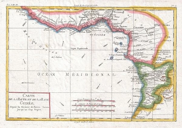
1780, Raynal and Bonne Map of Guinea, Rigobert Bonne 1727 - 1794, one of the most important cartographers of the late 18th century
Liszt Collection of nineteenth-century engravings and images to browse and enjoy
Media ID 14006796
© Artokoloro Quint Lox Limited
1780 Rigobert Bonne 1727 1794 Rigobert Bonne 1727 – 1794 Rigobert Bonne 17271794 Antique Map Latitude Longitude Mappa Mundi Old Antique Plan Old Antique View Ols Antique Map Rare Old Maps Topo
Cushion
Refresh your home decor with a beautiful full photo 16"x16" (40x40cm) cushion, complete with cushion pad insert. Printed on both sides and made from 100% polyester with a zipper on the bottom back edge of the cushion cover. Care Instructions: Warm machine wash, do not bleach, do not tumble dry. Warm iron inside out. Do not dry clean.
Accessorise your space with decorative, soft cushions
Estimated Product Size is 40cm x 40cm (15.7" x 15.7")
These are individually made so all sizes are approximate
Artwork printed orientated as per the preview above, with landscape (horizontal) or portrait (vertical) orientation to match the source image.
EDITORS COMMENTS
This print showcases the remarkable 1780 Raynal and Bonne Map of Guinea, a masterpiece created by the renowned cartographer Rigobert Bonne (1727-1794). Bonne, considered one of the most important cartographers of the late 18th century, meticulously crafted this map with exceptional precision and attention to detail. The map itself is an exquisite blend of topography, cartography, and geography. It provides a comprehensive illustration of the land's geographic features, offering invaluable insights into its diverse regions. With its carefully plotted grid lines denoting latitude and longitude, this vintage artifact serves as an essential tool for navigation and exploration. As we gaze upon this ancient piece of history on paper, we are transported back in time to an era when maps were not only practical but also works of art. The aged appearance adds a touch of nostalgia to its historical significance. Its decorative elements evoke a sense of wonderment about past journeys and discoveries made in these distant lands. This rare old map from Rigobert Bonne's collection holds immense value for historians and enthusiasts alike. It captures both the spirit of adventure that characterized exploration during that period and our timeless fascination with understanding our world's intricacies.
MADE IN AUSTRALIA
Safe Shipping with 30 Day Money Back Guarantee
FREE PERSONALISATION*
We are proud to offer a range of customisation features including Personalised Captions, Color Filters and Picture Zoom Tools
SECURE PAYMENTS
We happily accept a wide range of payment options so you can pay for the things you need in the way that is most convenient for you
* Options may vary by product and licensing agreement. Zoomed Pictures can be adjusted in the Cart.


