
South Of England Collection
Discover the rich history of the South of England through captivating tithe maps from the 19th century


All Professionally Made to Order for Quick Shipping
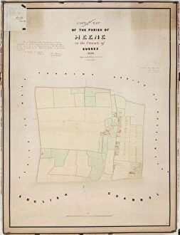
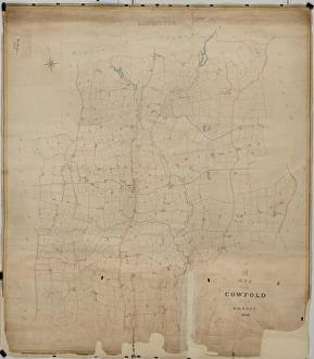
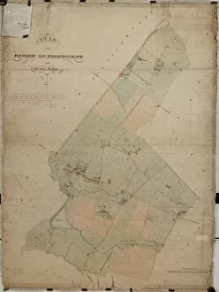
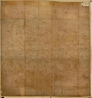
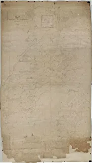
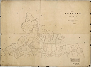
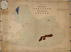
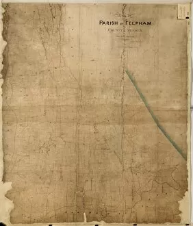
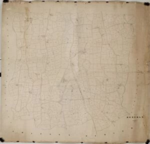
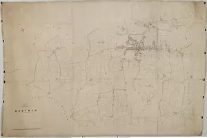
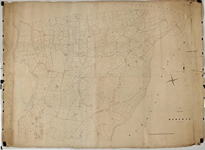
Discover the rich history of the South of England through captivating tithe maps from the 19th century. Cowfold, Duncton, Harting, Heene, New Fishbourne, East Marden, East Grinstead, Eartham, Cuckfield, West Hoathly - these names evoke a sense of nostalgia and intrigue. Step back in time as you explore these meticulously detailed maps that showcase the region's rural landscape. Transport yourself to 1840 with the Cowfold tithe map and immerse yourself in its intricate depiction of land ownership and usage. Marvel at how this snapshot from history reveals a community shaped by agriculture and farming practices. Delve into Duncton's past with its tithe map from 1837. Unearth forgotten stories hidden within its lines and contours; tales of hardworking villagers tending to their crops or raising livestock against an idyllic backdrop. The Harting tithe map from 1840 offers a glimpse into a bygone era where boundaries were defined not only by physical landmarks but also social structures. Witness how this small village was intricately woven together through shared spaces such as churches and commons. Heene's tithe map transports us to 1838 when this coastal area thrived on fishing and maritime activities. Explore how this once bustling hub connected people with the sea while providing sustenance for their livelihoods. New Fishbourne's tithe map paints a picture of an agricultural community thriving amidst picturesque landscapes in 1839. Discover how generations worked hand-in-hand to cultivate fertile lands that sustained them throughout changing seasons. East Marden's charming tithe map captures life in rural Sussex during 1842. Lose yourself among fields dotted with cottages as you imagine villagers going about their daily routines against nature’s ever-changing canvas. Experience Victorian charm through East Grinstead's beautifully preserved tithe map from 1840. Traverse streets lined with historic buildings while envisioning a bustling market town where commerce and community thrived.