
Landmass Collection
"Exploring the Dynamic World: Unveiling the Mysteries of Landmass" Embarking on a journey through time and space


All Professionally Made to Order for Quick Shipping
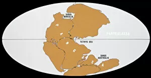
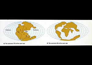
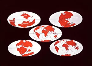
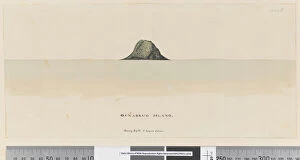
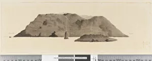
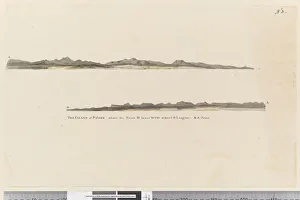
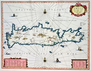
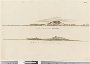
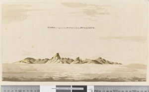
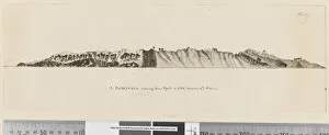
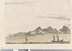
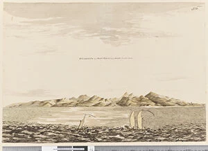
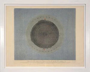
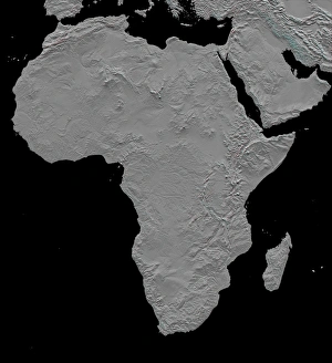
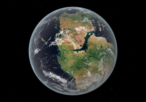
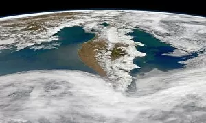
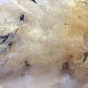
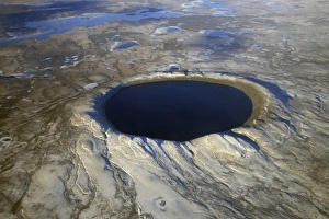
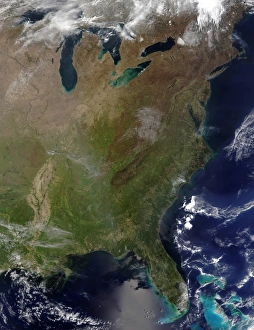
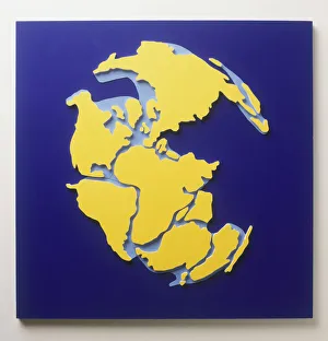
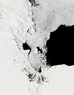
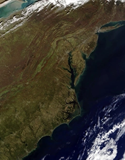
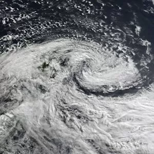
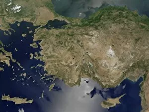
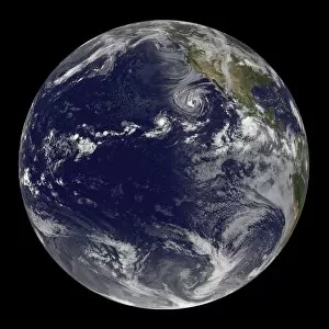
"Exploring the Dynamic World: Unveiling the Mysteries of Landmass" Embarking on a journey through time and space, we delve into the captivating phenomenon of continental drift. Through intricate diagrams, we witness the majestic dance of tectonic plates shaping our planet's landmasses. From a satellite view high above New Zealand, we marvel at its unique landforms that bear witness to millions of years of continental movement. The rugged beauty tells tales of ancient collisions and separations. Venturing to England's Northumberland, we encounter an extraordinary creation named Northumberlandia – a colossal sculpture embodying the very essence transformation. Its undulating curves pay homage to nature's ever-changing forms. Turning pages in history, we stumble upon intriguing accounts like Osnabrug Island bearing testimony to explorers' navigational prowess as they charted unknown territories with precision and skill. Ink-stained records reveal glimpses of unidentified islands waiting for their stories to be unraveled. With compass bearings guiding their way, intrepid adventurers set forth towards uncharted horizons. The enchanting profile etched onto paper unveils St. Jago, one among Cape Verde Islands – an exquisite testament to how landmasses emerge from volcanic origins and evolve over eons under nature's watchful eye. A vibrant map takes us back centuries ago when cartographers meticulously depicted Crete's splendorous contours in vivid colors - capturing both its geographical significance and cultural heritage within a single frame. Stepping into Matavai Bay in Otaheite (now Tahiti), brushstrokes bring alive Captain Cook's expedition as he encountered new lands amidst turquoise waters - forever altering our understanding of distant shores. Finally, gazing upon the Isle of Mayo off Cape Verde Islands' coast reveals yet another captivating coastal profile that has witnessed countless waves crashing against its rocky cliffs throughout time immemorial. Landmasses hold secrets untold, their ever-changing nature a testament to the dynamic forces shaping our world.