Fraud Blocker Skip to main content

Map Collection (page 2)

"Journey through Time and Space: Exploring the World of Maps" Maps have been an essential tool for centuries

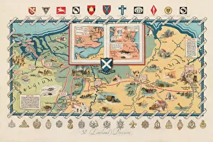
Background imageMap Collection: WW2 poster, activities of 52 (Lowland) Division

WW2 poster, activities of 52 (Lowland) Division
Screen-print poster, published circa 1950, showing the activities of the 52nd Lowland Division during the Second World War, with a map of Northern Europe, and unit badges along the top and bottom

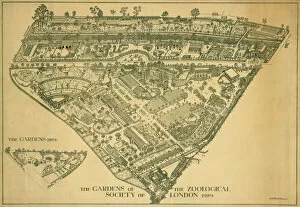
Background imageMap Collection: London Zoo 1929 MD93_07025

London Zoo 1929 MD93_07025
London Zoo, Regents Park, Westminster. Line drawing entitled " The Gardens of the Zoological Society of London 1929" and " the Gardens 1829" (inset)

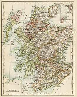
Background imageMap Collection: Scotland map, 1870s

Scotland map, 1870s
Map of Scotland, 1870s. Printed color lithograph

Background imageMap Collection: Ancient Greece and its colonies around the Aegean

Ancient Greece and its colonies around the Aegean
Map of the Aegean Sea in the time of ancient Greece. Printed color lithograph of a 19th-century illustration

Background imageMap Collection: Map of Britain in 597 AD

Map of Britain in 597 AD
Map of territory controlled by Celts, Picts, Anglos, Saxons, and other tribes in Britain in 597 AD. Printed color lithograph of a 19th-century illustration

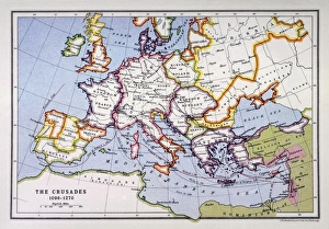
Background imageMap Collection: Crusades Map

Crusades Map
A map of Europe depicting the paths of various Crusades between 1096 and 1270

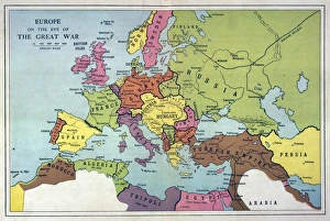
Background imageMap Collection: Europe Map C1914

Europe Map C1914
The map of Europe on the eve of World War One

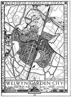
Background imageMap Collection: Map of Welwyn Garden City, Hertfordshire, England, 1926

Map of Welwyn Garden City, Hertfordshire, England, 1926. From An Outline of Christianity, The Story of Our Civilisation, volume 5: Christianity Today and Tomorrow, edited by RG Parsons and AS Peake

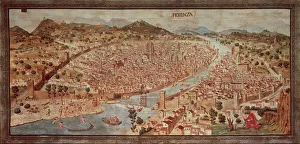
Background imageMap Collection: Map of Florence known as Della Catena Map of Florence, Attributed to Francesco di Lorenzo

Map of Florence known as Della Catena Map of Florence, Attributed to Francesco di Lorenzo Rosselli, 1470, illustration
Cartography, Italy, 15th century. Map of Florence known as The Della Catena Map of Florence. Attributed to Francesco di Lorenzo Rosselli, 1470

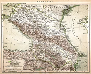
Background imageMap Collection: Old Caucasus map

Old Caucasus map
Antique map of Caucasus

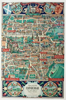
Background imageMap Collection: Pictorial map of Edinburgh

Pictorial map of Edinburgh Date: circa 1950s

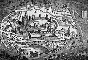
Background imageMap Collection: PONTEFRACT CASTLE, Yorkshire

PONTEFRACT CASTLE, Yorkshire
Bird s-eye view of Pontefract Castle, Yorkshire, as it appeared during the Civil War. Date: 1648

Background imageMap Collection: Medieval Europe at the start of the Crusades

Medieval Europe at the start of the Crusades
Map of Europe at the time of the First Crusade, 1097 AD. Printed color lithograph of a 19th-century illustration

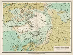
Background imageMap Collection: Map / Arctic Circle 1895

Map / Arctic Circle 1895
Map of the Arctic Circle and surrounding areas

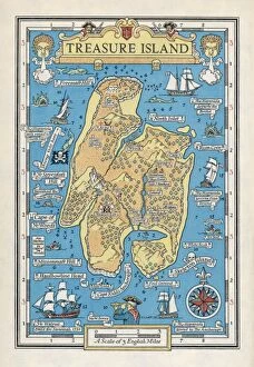
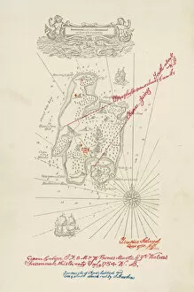
Background imageMap Collection: Treasure Island Map / Col

Treasure Island Map / Col
A map of Treasure Island

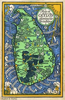
Background imageMap Collection: Map of Ceylon showing tea industry plantations

Map of Ceylon showing tea industry plantations
Map of Ceylon (Sri Lanka) showing tea industry plantations. Date: circa 1920

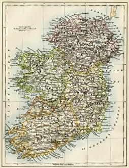
Background imageMap Collection: Antique map of Ireland

Antique map of Ireland, 1864

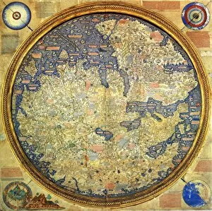
Background imageMap Collection: Fra Mauro map (1460). The Fra Mauro Map orientation (South at the top). is considered

Fra Mauro map (1460). The Fra Mauro Map orientation (South at the top). is considered
Fra Mauro map (1460). The Fra Mauro Map orientation (South at the top).is considered the greatest memorial of medieval cartography. by the Venetian monk Fra Mauro

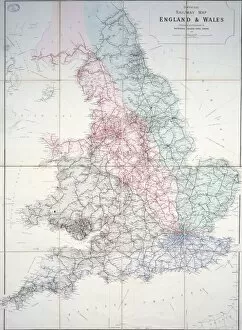
Background imageMap Collection: Railway map of Britain

Railway map of Britain
1920 Historical map

Background imageMap Collection: Continental drift after 250 million years

Continental drift after 250 million years, showing the supercontinent of Pangea Ultima, which was named for the ancient supercontinent of Pangea

Background imageMap Collection: Vancouver Island map, 1870s

Vancouver Island map, 1870s
Map of Vancouver Island, British Columbia, Canada, 1870s. Lithograph reproduction of a 19th-century illustration

Background imageMap Collection: Treasure Island Map

Treasure Island Map
A map of the island

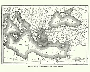
Background imageMap Collection: Map of the Byzantine Empire in the 9th Century

Map of the Byzantine Empire in the 9th Century
Vintage engraving of a Map of the Byzantine Empire in the 9th Century

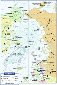
Background imageMap Collection: arctic ocean, cartography, map, no people, north pole, polar equal area projection

arctic ocean, cartography, map, no people, north pole, polar equal area projection, political map, arctic, Reference Maps, 102270272

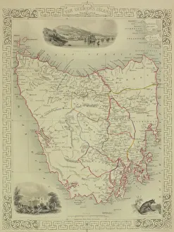
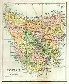
Background imageMap Collection: Antique map of Tasmania

Antique map of Tasmania

Background imageMap Collection: Ireland map, 1870s

Ireland map, 1870s
Map of Ireland, or Eire, 1870s. Printed color lithograph

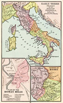
Background imageMap Collection: Maps of Italy in ancient times

Maps of Italy in ancient times
Map of early tribes in Italy (top). of the Roman hills (lower left). and the vicinity of Rome (right) in the time of the Roman Empire. Printed color lithograph of a 19th-century illustration

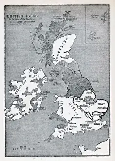
Background imageMap Collection: Viking Britain Map

Viking Britain Map
A map of the British Isles (including Ireland) during the time of the Vikings

Background imageMap Collection: Map / Isle of Wight C1857

Map / Isle of Wight C1857
Map of the Isle of Wight (County series)

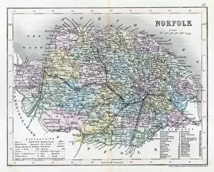
Background imageMap Collection: Map / Norfolk C1857

Map / Norfolk C1857
Map of Norfolk

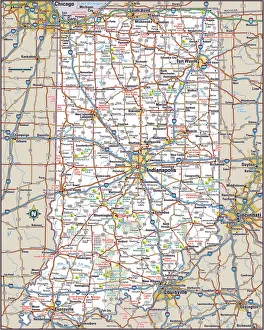
Background imageMap Collection: Indiana Highway Map

Indiana Highway Map
Reference Maps, Top Sellers Art Prints, 103312674

Background imageMap Collection: Map / Cornwall C1857

Map / Cornwall C1857
Map of Cornwall Date: circa 1857

Background imageMap Collection: China map

China map
illustration of a South Eastern Asia map

Background imageMap Collection: Antique Map of Tasmania

Antique Map of Tasmania
Antique map of Tasmania from 1867

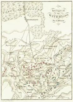
Background imageMap Collection: Battle Of Waterloo

Battle Of Waterloo
A plan of the Battle of Waterloo in present-day Belgium during the Napoleonic Wars, 18th June 1815. Here an Anglo-Allied army under the command of the Duke of Wellington defeated the Imperial French

Background imageMap Collection: MAP: JAMAICA, 1893. British map of Jamaica by Colin Liddell, published 1893

MAP: JAMAICA, 1893. British map of Jamaica by Colin Liddell, published 1893

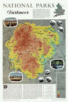
Background imageMap Collection: Map of Dartmoor

Map of Dartmoor
National Parks poster map of Dartmoor Date: circa 1950

Background imageMap Collection: MAP: BRITISH EMPIRE, 1886. Map, 1886, of the British Empire by Walter Crane

MAP: BRITISH EMPIRE, 1886. Map, 1886, of the British Empire by Walter Crane. The small insert shows, in red, the extent of the British territories in 1786

Background imageMap Collection: MAP: PHILIPPINES, 1905. Map of the Philippine Islands printed in the United States in 1905

MAP: PHILIPPINES, 1905. Map of the Philippine Islands printed in the United States in 1905

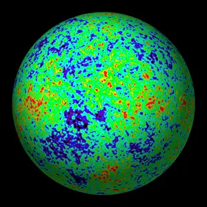
Background imageMap Collection: Cosmic microwave background

Cosmic microwave background. Spherical projection of the cosmic microwave background, using all-sky data from the WMAP (Wilkinson Microwave Anisotropy Probe)

Background imageMap Collection: Orteliuss map of Ottoman Empire, 1570

Orteliuss map of Ottoman Empire, 1570
Orteliuss map of the Ottoman Empire. This map is from the 1570 first edition of Theatrum orbis terrarum ( Theatre of the World )

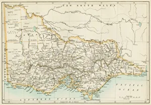
Background imageMap Collection: Victoria province, Australia, 1800s

Victoria province, Australia, 1800s
Map of Victoria, Australia, 1870s. Color lithograph reproduction of a 19th-century illustration

Background imageMap Collection: Ancient Greek empire

Ancient Greek empire
Map of ancient Greece and its colonies. Hand-colored woodcut of a 19th-century illlustration

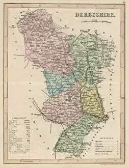
Background imageMap Collection: Map / Derbyshire C1857

Map / Derbyshire C1857
Map of Derbyshire

Background imageMap Collection: Map of Purgatory / Dante

Map of Purgatory / Dante
A map of Purgatorio, in Dantes La Divina Commedia

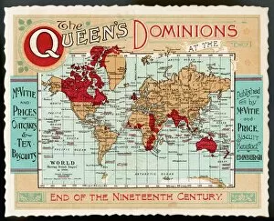
Background imageMap Collection: World Map Empire McVitie

World Map Empire McVitie
A map of the world, showing the British Empire coloured in red at the end of the nineteenth century

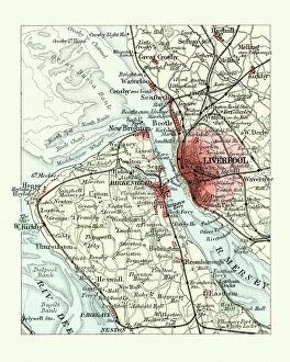
Background imageMap Collection: Antique map, Liverpool and Birkenhead, England, 19th Century

Antique map, Liverpool and Birkenhead, England, 19th Century
Vintage engraving of a Antique map, Liverpool and Birkenhead, England, 19th Century

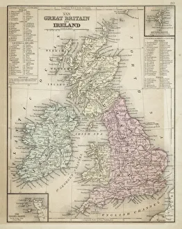
Background imageMap Collection: Great Britain and Ireland map 1867

Great Britain and Ireland map 1867
Mitchell's Modern Atlas - Published by E.H. Butler and Co - Philadelphia 1867


All Professionally Made to Order for Quick Shipping

"Journey through Time and Space: Exploring the World of Maps" Maps have been an essential tool for centuries, guiding us through uncharted territories and helping us understand our world. From the Thirteen original colonies in 1776 to William Smith's groundbreaking Geological Map, these visual representations have shaped our understanding of geography, history, and even ourselves. Step onto a Reflexology foot map, where every pressure point tells a story about our well-being. Or immerse yourself in the intricate details of Richard de Bello's masterpiece - The Hereford Mappa Mundi (c1285), a medieval treasure that showcases both geographical knowledge and artistic finesse. Travel back in time with antique maps like the Roman Empire or Britain under the Anglo Saxons; they offer glimpses into ancient civilizations that once thrived. And let's not forget the Falkland Islands Royal Engineer briefing map from 1982, reminding us how maps play crucial roles during times of conflict. Delve into Al-Idrisi's world map from 1154 or explore GWR Network Map from c1920s - each capturing different eras' perspectives on global connectivity. Swindon Works Map from c1940s takes you behind-the-scenes of industrial revolution marvels. Finally, lose yourself in a mesmerizing journey across Ancient Greece as you trace your finger along its contours on an old parchment-like map. Discover mythical lands and legendary tales that still resonate today, and are more than just navigational aids; they are gateways to exploration and understanding. They tell stories of triumphs, discoveries, cultures lost to time but preserved within their lines. So next time you unfold a map or scroll through digital coordinates (like EXPL2A-00352), remember that you hold much more than directions – you hold pieces of history waiting to be explored anew.