Fraud Blocker Skip to main content

Map Collection (page 4)

"Journey through Time and Space: Exploring the World of Maps" Maps have been an essential tool for centuries

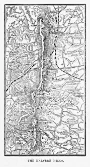
Background imageMap Collection: Map of Malvern Hills in Worcestershire, England Victorian Engraving, 1840

Map of Malvern Hills in Worcestershire, England Victorian Engraving, 1840
Very Rare, Beautifully Illustrated Antique Engraving of Map of Malvern Hills in Worcestershire, England Victorian Engraving, 1840. Source: Original edition from my own archives

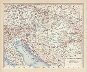
Background imageMap Collection: Austro-Hungarian Empire, Habsburg Monarchy, lithograph, published in 1877

Austro-Hungarian Empire, Habsburg Monarchy, lithograph, published in 1877
Ancient map of Austro-Hungarian Empire. Habsburg Monarchy. Lithograph, published in 1877

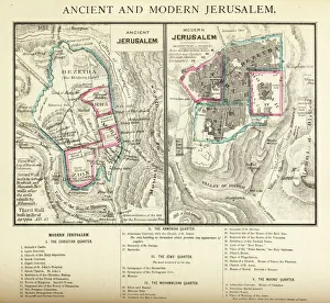
Background imageMap Collection: Ancient and Modern Jerusalem Map Engraving

Ancient and Modern Jerusalem Map Engraving
Engraved illustration of Ancient and Modern Jerusalem Map Engraving from The Popular Pictorial Bible, Containing the Old and New Testaments, Published in 1862. Copyright has expired on this artwork

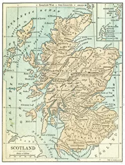
Background imageMap Collection: Scotland map 1875

Scotland map 1875
The Independent Course Comprehensive Geography by James Monteith, A.S. Barnes & Co, New York & Chicago 1875

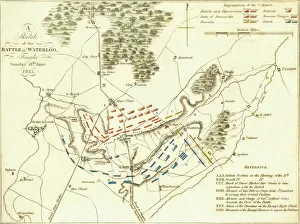
Background imageMap Collection: Battle Of Waterloo

Battle Of Waterloo
A plan of the Battle of Waterloo in present-day Belgium during the Napoleonic Wars, 18th June 1815. Here an Anglo-Allied army under the command of the Duke of Wellington defeated the Imperial French

Background imageMap Collection: Map of Ancient Egypt

Map of Ancient Egypt. Date: 1814

Background imageMap Collection: Oldest map of Palestine, mosaic, dated AD 560, St. Georges Church, Madaba, Jordan

Oldest map of Palestine, mosaic, dated AD 560, St. Georges Church, Madaba, Jordan, Middle East

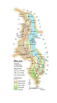
Background imageMap Collection: Map of Malawi

Map of Malawi

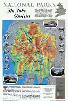
Background imageMap Collection: Map of the Lake District

Map of the Lake District
National Parks poster map of the Lake District Date: circa 1950

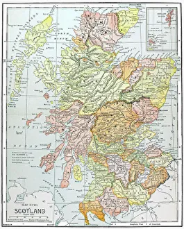
Background imageMap Collection: MAP: SCOTLAND. Line engraving, 19th century

MAP: SCOTLAND. Line engraving, 19th century

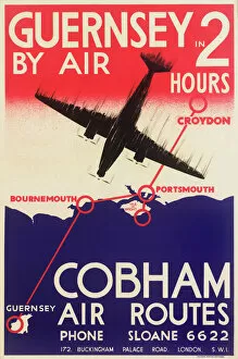
Background imageMap Collection: Cobham Air Routes Poster

Cobham Air Routes Poster
Poster, Cobham Air Routes, offering flights to Guernsey in 2 hours. With a map of the south coast. 20th century

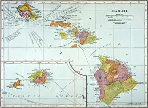
Background imageMap Collection: MAP: HAWAII, 1905. Map of the Hawaiian Islands printed in the United States in 1905

MAP: HAWAII, 1905. Map of the Hawaiian Islands printed in the United States in 1905

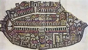
Background imageMap Collection: MADABA MAP, 6TH CENTURY. The Madaba Mosaic Map, the oldest known map of the city of Jerusalem

MADABA MAP, 6TH CENTURY. The Madaba Mosaic Map, the oldest known map of the city of Jerusalem, located in the Byzantine Church of Saint George at Madaba, Jordan, 6th century A.D

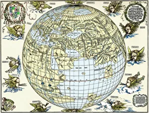
Background imageMap Collection: Durers world map, 1515

Durers world map, 1515. Albrecht Durer (1471- 1528) was a German artist. His skillful use of perspective and mathematical proportions made him one of the outstanding artistic figures of the early

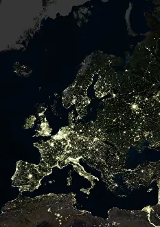
Background imageMap Collection: Europe at night, satellite image

Europe at night, satellite image. City lights (yellow) of increasing intensity show areas of increasing population, with areas of few lights being more sparsely populated

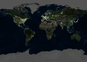
Background imageMap Collection: Whole Earth at night, satellite image

Whole Earth at night, satellite image
Whole Earth map at night, satellite image. Here, Africa is seen at centre. City lights (yellow) of increasing intensity show areas of increasing population

Background imageMap Collection: Traditional provinces of Spain

Traditional provinces of Spain
Map of the former provinces of Spain. Printed color lithograph of a 19th-century illustration

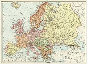
Background imageMap Collection: Map of Europe, 1870s

Map of Europe, 1870s
Map of Europe in the 1870s. Color lithograph reproduction of a 19th-century illustration

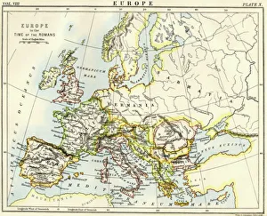
Background imageMap Collection: Map of Europe under the Roman Empire

Map of Europe under the Roman Empire
Map of Europe in the time of the Roman Empire. Printed color lithograph of a 19th-century illustration

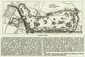
Background imageMap Collection: Map of Victoria Park

Map of Victoria Park
The proprosed plan of Victoria Park, Bethnal Green. The entire tract of land lying between the Hackney and Whitechapel roads contains about 290 acres

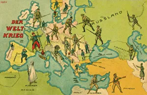
Background imageMap Collection: World War One Combatants - Map of Europe

World War One Combatants - Map of Europe
The World War. World War One Combatants superimposed on a Map of Europe

Background imageMap Collection: Map / Somerset C1857

Map / Somerset C1857
Map of Somerset

Background imageMap Collection: Map / Suffolk C1857

Map / Suffolk C1857
Map of Suffolk

Background imageMap Collection: British Empire Map 1880

British Empire Map 1880
Map showing the extent of the British Empire circa 1880

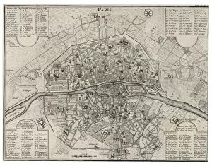
Background imageMap Collection: Map / Paris 18C

Map / Paris 18C
Detailed map of Paris, showing the many churches

Background imageMap Collection: Napoleon / St Helena Map

Napoleon / St Helena Map
NAPOLEON I Map of the island of Saint Helena during his captivity

Background imageMap Collection: Map / Asia / China 1864

Map / Asia / China 1864
CANTON and the PEARL RIVER, including HONG KONG, MACAO, TAIPING, WHAMPOA and other historical locations Date: 1864

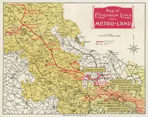
Background imageMap Collection: METROLAND MAP

METROLAND MAP
A map of Metro-Land, the residential area in Londons northwest hinterland, served by Londons Underground though in these parts most of it runs over ground. Date: 1926

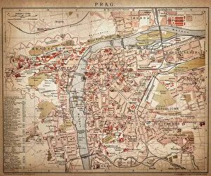
Background imageMap Collection: Prague

Prague
Antique map of Prague from 1898

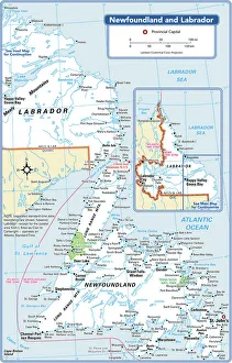
Background imageMap Collection: Newfoundland and Labrador Provincial Map

Newfoundland and Labrador Provincial Map
Reference Maps, 103745768

Background imageMap Collection: Highly detailed USA Road Map

Highly detailed USA Road Map
Highly detailed map of United States with roads, states, big cities, rivers and some other objects

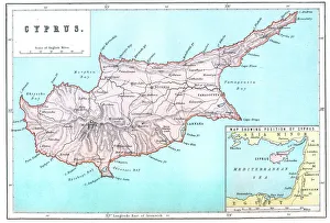
Background imageMap Collection: Map of Cyprus

Map of Cyprus
Vintage 19th Century map of Cyprus in the eastern Mediterranean Sea

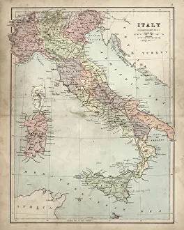
Background imageMap Collection: Antique Damaged Map of Italy 19th Century

Antique Damaged Map of Italy 19th Century
Antique damaged map of Italy 19th Century

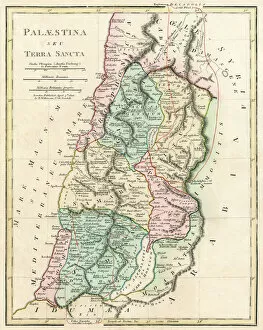
Background imageMap Collection: Map of Palestine and the Holy Land

Map of Palestine and the Holy Land - all places named in their Latin form. Date: 1806

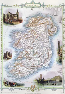
Background imageMap Collection: MAP: IRELAND, 1851. An engraved map of Ireland, 1851

MAP: IRELAND, 1851. An engraved map of Ireland, 1851

Background imageMap Collection: Jersey Airways Poster

Jersey Airways Poster
Poster, Jersey Airways Ltd, Regular Daily Services, Multi-Engined Air-Liners. Showing a De Havilland biplane with a map below. 20th century

Background imageMap Collection: Map of the Isle of Wight

Map of the Isle of Wight, showing the principal roads (marked in red) and the internal Island rail network Date: 1910

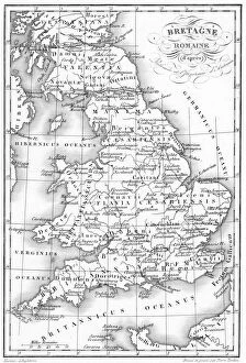
Background imageMap Collection: Roman Britain Map

Roman Britain Map
A map depicting the network of Roman settlements in Britain

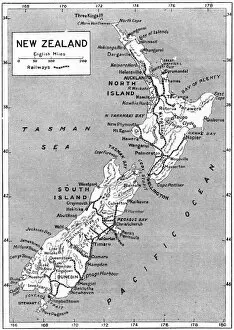
Background imageMap Collection: Maps / New Zealand

Maps / New Zealand
A map of New Zealand Date: 1908

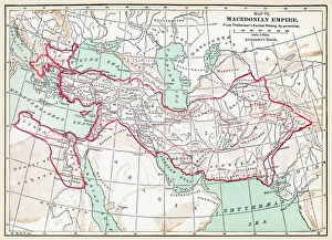
Background imageMap Collection: MAP OF MACEDONIAN EMPIRE. Map of the Macedonian Empire following the conquests of Alexander
MAP OF MACEDONIAN EMPIRE. Map of the Macedonian Empire following the conquests of Alexander the Great, 4th century B.C

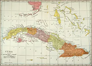
Background imageMap Collection: MAP: CUBA, 1900. Map of Cuba printed in the United States, c1900

MAP: CUBA, 1900. Map of Cuba printed in the United States, c1900

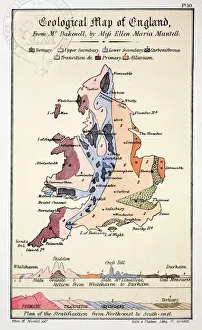
Background imageMap Collection: 1838 Geological Map of England by Mantell

1838 Geological Map of England by Mantell
From Gideon Mantells " Wonders of Geology" 1839, drawn by his daughter Ellen

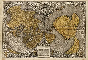
Background imageMap Collection: Oronce Fines world map, 1531

Oronce Fines world map, 1531
Oronce Fines world map. Map of the worlds northern and southern hemispheres by the French mathematician and cartographer Oronce Fine (1494-1555)

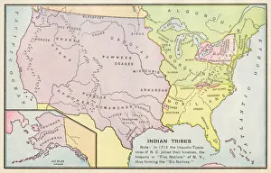
Background imageMap Collection: American Indian tribe locations in 1715

American Indian tribe locations in 1715
Map of Native American tribe locations circa 1715, continental U.S. Printed color lithograph

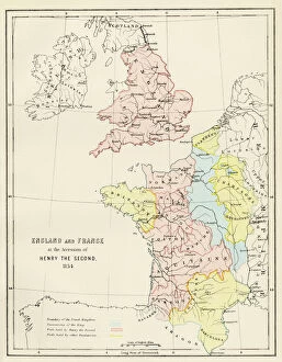
Background imageMap Collection: Map of England and France, 1154

Map of England and France, 1154
England and France at the accession of Henry II, 1154. Color lithograph reproduction of a 19th-century illustration

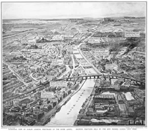
Background imageMap Collection: Overhead view of Dublin during the Easter Rising

Overhead view of Dublin during the Easter Rising
A birds eye view of Dublin looking westward up the River Liffey, showing positions held by the Sinn Feiners during the Easter Rising in April 1916

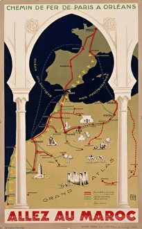
Background imageMap Collection: Poster for French railways to Morocco

Poster for French railways to Morocco
Poster advertising French railways to Morocco, via Paris, Bordeaux, Toulouse and Madrid, to Tangier, Casablanca, Marrakech, and other exotic places

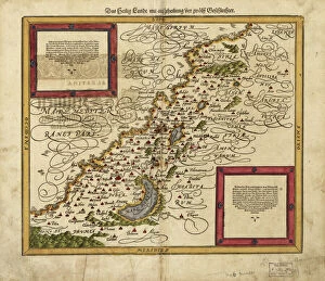
Background imageMap Collection: Map of Palestine, 1588

Map of Palestine, 1588
16th century map of Palestine. North is towards upper right. Published in 1588, this German map shows the geography of Palestine, centred on the area that later become the state of Israel


All Professionally Made to Order for Quick Shipping

"Journey through Time and Space: Exploring the World of Maps" Maps have been an essential tool for centuries, guiding us through uncharted territories and helping us understand our world. From the Thirteen original colonies in 1776 to William Smith's groundbreaking Geological Map, these visual representations have shaped our understanding of geography, history, and even ourselves. Step onto a Reflexology foot map, where every pressure point tells a story about our well-being. Or immerse yourself in the intricate details of Richard de Bello's masterpiece - The Hereford Mappa Mundi (c1285), a medieval treasure that showcases both geographical knowledge and artistic finesse. Travel back in time with antique maps like the Roman Empire or Britain under the Anglo Saxons; they offer glimpses into ancient civilizations that once thrived. And let's not forget the Falkland Islands Royal Engineer briefing map from 1982, reminding us how maps play crucial roles during times of conflict. Delve into Al-Idrisi's world map from 1154 or explore GWR Network Map from c1920s - each capturing different eras' perspectives on global connectivity. Swindon Works Map from c1940s takes you behind-the-scenes of industrial revolution marvels. Finally, lose yourself in a mesmerizing journey across Ancient Greece as you trace your finger along its contours on an old parchment-like map. Discover mythical lands and legendary tales that still resonate today, and are more than just navigational aids; they are gateways to exploration and understanding. They tell stories of triumphs, discoveries, cultures lost to time but preserved within their lines. So next time you unfold a map or scroll through digital coordinates (like EXPL2A-00352), remember that you hold much more than directions – you hold pieces of history waiting to be explored anew.