Home > North America > United States of America > New York > New York > Maps
Part of Wards 6, 10 & 12. Land Map Section, No

![]()
Wall Art and Photo Gifts from Liszt Collection
Part of Wards 6, 10 & 12. Land Map Section, No
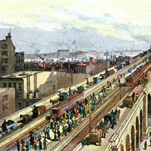
Part of Wards 6, 10 & 12. Land Map Section, No. 2, Volume 1, Brooklyn Borough, New York City
Liszt Collection of nineteenth-century engravings and images to browse and enjoy
Media ID 12672079
© Quint Lox Limited
Brooklyn Borough Cartographic Historic Map Land Map Section New York City No 2 Vintage Map Volume 1 10 12 Old Map
FEATURES IN THESE COLLECTIONS
> North America
> United States of America
> Maps
> North America
> United States of America
> New York
> New York
> Brooklyn
> Related Images
> North America
> United States of America
> New York
> New York
> Maps
EDITORS COMMENTS
This vintage map print showcases a section of Wards 6,10, and 12 in Brooklyn Borough, New York City. A fascinating piece of cartographic history, it offers a glimpse into the geography and layout of this bustling area. The intricate details on the map highlight streets, buildings, parks, and other landmarks that once defined these neighborhoods. As we explore this historic map, we are transported back in time to an era when horse-drawn carriages roamed the streets and gas lamps illuminated the sidewalks. It is a reminder of how much our cities have evolved over the years. The Liszt Collection has carefully preserved this remarkable piece of art for us to appreciate today. Its authenticity adds to its charm as it captures a moment frozen in time. Whether you're a history enthusiast or simply intrigued by maps, this print will surely captivate your imagination. Displaying this unique artwork in your home or office not only adds character but also sparks conversations about urban development and the rich heritage of Brooklyn Borough. Let yourself be transported back to an earlier era with this vintage map print from the Liszt Collection - an exquisite homage to America's past.
MADE IN AUSTRALIA
Safe Shipping with 30 Day Money Back Guarantee
FREE PERSONALISATION*
We are proud to offer a range of customisation features including Personalised Captions, Color Filters and Picture Zoom Tools
SECURE PAYMENTS
We happily accept a wide range of payment options so you can pay for the things you need in the way that is most convenient for you
* Options may vary by product and licensing agreement. Zoomed Pictures can be adjusted in the Cart.