Fraud Blocker Skip to main content

Photo Mug > North Wind Picture Archives > Maps

Maps Photo Mug Collection

Choose a picture from our Maps Photo Mug Collection for your Wall Art and Photo Gifts

216 Photo Mugs

We are proud to offer this selection in partnership with North Wind Picture Archives

Background imageMaps Photo Mug Collection: Thirteen original colonies in 1776

Thirteen original colonies in 1776
American colonies at the outbreak of the Revolution. Printed color lithograph of a 19th-century illustration

Background imageMaps Photo Mug Collection: Map of England in 1066

Map of England in 1066
England at the time of the Norman conquest, 1066-1081. Color lithograph of a 19th-century illustration

Background imageMaps Photo Mug Collection: Map of ancient Rome

Map of ancient Rome
City plan of ancient Rome. Lithograph

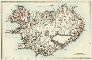
Background imageMaps Photo Mug Collection: Iceland map, 1800s

Iceland map, 1800s
Map of Iceland, 1870s. Printed color lithograph reproduction of a 19th-century illustratioin

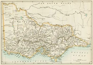
Background imageMaps Photo Mug Collection: Victoria province, Australia, 1800s

Victoria province, Australia, 1800s
Map of Victoria, Australia, 1870s. Color lithograph reproduction of a 19th-century illustration

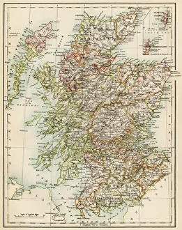
Background imageMaps Photo Mug Collection: Scotland map, 1870s

Scotland map, 1870s
Map of Scotland, 1870s. Printed color lithograph

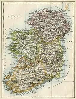
Background imageMaps Photo Mug Collection: Ireland map, 1870s

Ireland map, 1870s
Map of Ireland, or Eire, 1870s. Printed color lithograph

Background imageMaps Photo Mug Collection: Map of England, 1800s

Map of England, 1800s
Map of England and Wales, 1870s. Color lithograph reproduction of a 19th-century illustration

Background imageMaps Photo Mug Collection: Vancouver Island map, 1870s

Vancouver Island map, 1870s
Map of Vancouver Island, British Columbia, Canada, 1870s. Lithograph reproduction of a 19th-century illustration

Background imageMaps Photo Mug Collection: Ancient Greece and its colonies around the Aegean

Ancient Greece and its colonies around the Aegean
Map of the Aegean Sea in the time of ancient Greece. Printed color lithograph of a 19th-century illustration

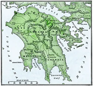
Background imageMaps Photo Mug Collection: Map of the Peloponnesus of ancient Greece

Map of the Peloponnesus of ancient Greece. Hand-colored woodcut of a 19th-century illustration

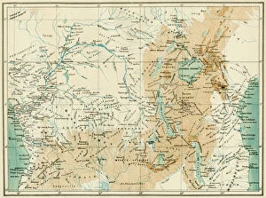
Background imageMaps Photo Mug Collection: EXPL2A-00366

EXPL2A-00366
Map of equatorial Africa as known in the 1870s. Printed color lithograph, 19th century

Background imageMaps Photo Mug Collection: New South Wales map, 1800s

New South Wales map, 1800s
Map of New South Wales, Australia, 1870s. Color lithograph reproduction of a 19th-century illustration

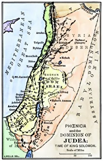
Background imageMaps Photo Mug Collection: Map of ancient Palestine kingdoms of Judah and Israel

Map of ancient Palestine kingdoms of Judah and Israel
Map of Phoenicia and Judea in the time of King Solomon, 10th century BC. Hand-colored woodcut of a 19th-century illustration

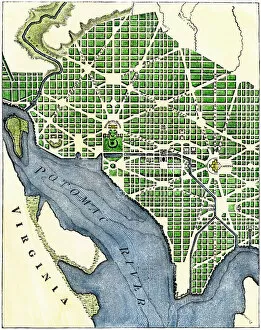
Background imageMaps Photo Mug Collection: Plan of Washington DC, 1793

Plan of Washington DC, 1793
Washington DC as originally laid out, 1700s. Hand-colored woodcut reproduction of a 1793 engraving

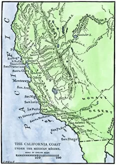
Background imageMaps Photo Mug Collection: California under Mexican rule, 1800s

California under Mexican rule, 1800s
Map of Alta California under Mexican government, early 1800s. Hand-colored woodcut of a 19th-century illustration

Background imageMaps Photo Mug Collection: Alaska and British Columbia map, 1872

Alaska and British Columbia map, 1872
Map of Alaska, the Aleutian Islands, and British Columbia, 1872. Hand-colored woodcut of a 19th-century illustration

Background imageMaps Photo Mug Collection: Erie Canal route

Erie Canal route
Map of the Erie Canal across New York state, 1800s. Hand-colored woodcut of a 19th-century illustration

Background imageMaps Photo Mug Collection: Western US after the Compromise of 1850

Western US after the Compromise of 1850
Map showing the western US territories after the Compromise of 1850. Printed color lithograph of a 19th-century illustration

Background imageMaps Photo Mug Collection: PROY2A-00017

PROY2A-00017
Map of Europe in the time of Charlemagne, 768-814 AD. Printed color lithograph, 19th century

Background imageMaps Photo Mug Collection: Map of Mandan migration

Map of Mandan migration
Caitlins map showing the moves of the Mandans and the place of their extinction, 1837. Hand-colored woodcut of a 19th-century illustration

Background imageMaps Photo Mug Collection: Iroquois Nations map, 1600s

Iroquois Nations map, 1600s
French map of the Five Iroquois Nations homeland and Fort Orange (Albany), 1660s. Hand-colored woodcut of a 17th-century illustration

Background imageMaps Photo Mug Collection: NATI2A-00044

NATI2A-00044
Map of the Six Iroquois Nations in Pennsylvania and New York, 1771. Hand-colored woodcut reproduction of an 18th-century document

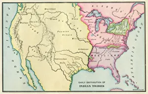
Background imageMaps Photo Mug Collection: American Indian tribe locations about 1700

American Indian tribe locations about 1700
Map of Native American locations, circa 1700. Printed lithograph

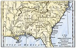
Background imageMaps Photo Mug Collection: Southeast Indian tribe locations in 1776

Southeast Indian tribe locations in 1776
Map of southeastern Native American Nations about 1776. Hand-colored woodcut

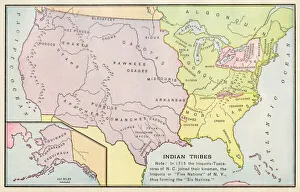
Background imageMaps Photo Mug Collection: American Indian tribe locations in 1715

American Indian tribe locations in 1715
Map of Native American tribe locations circa 1715, continental U.S. Printed color lithograph

Background imageMaps Photo Mug Collection: Sumatra, 1800s

Sumatra, 1800s
Map of Sumatra, 1870s. Color lithograph of a 19th-century illustration

Background imageMaps Photo Mug Collection: South Australia, 1800s

South Australia, 1800s
Map of South Austrailia, 1870s. Color lithograph reproduction of a 19th-century illustration

Background imageMaps Photo Mug Collection: Western Australia province, 1800s

Western Australia province, 1800s
Map of Western Australia, 1870s. Color lithograph reproduction of a 19th-century illustration

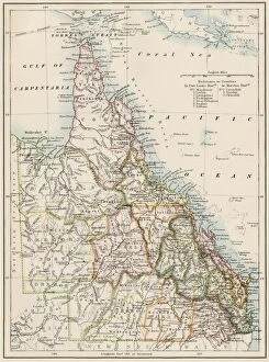
Background imageMaps Photo Mug Collection: Queensland, Australia, 1800s

Queensland, Australia, 1800s
Map of Queensland, Australia, 1870s. Color lithograph reproduction of a 19th-century illustration

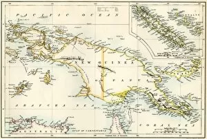
Background imageMaps Photo Mug Collection: GPAC2A-00023

GPAC2A-00023
Map of New Guinea and New Caledonia, 1870s. Printed color lithograph of a 19th-century illustration

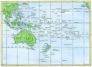
Background imageMaps Photo Mug Collection: GPAC2A-00018

GPAC2A-00018
Map of the Pacific island groups, 1800s. Hand-colored woodcut of a 19th-century illustration

Background imageMaps Photo Mug Collection: Swedish settlement at Fort Christina, Delaware

Swedish settlement at Fort Christina, Delaware
Fort Christina under siege by the Dutch in 1655 (now Wilmington, Delaware). Hand-colored woodcut reproduction of a contemporary illustration by Campanius

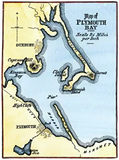
Background imageMaps Photo Mug Collection: Map of Plymouth Bay, Massachusetts

Map of Plymouth Bay, Massachusetts
Plymouth Bay on the northern coast of Cape Cod, Massachusetts. Hand colored woodcut of a 19th-century illustration

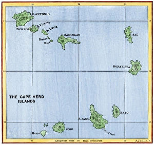
Background imageMaps Photo Mug Collection: Cape Verde Islands map

Cape Verde Islands map
Map of the Cape Verde Islands in the Atlantic. Hand-colored woodcut of a 19th-century illustration

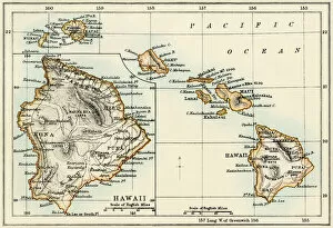
Background imageMaps Photo Mug Collection: Map of Hawaii, 1870s

Map of Hawaii, 1870s
Map of the Hawaiian islands, 1870s. Color lithograph reproduction of a 19th-century illustration

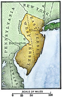
Background imageMaps Photo Mug Collection: East Jersey and West Jersey

East Jersey and West Jersey
Map of colonial East and West Jersey, late 1600s. Hand-colored woodcut of a 19th-century illustration

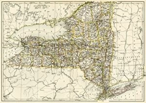
Background imageMaps Photo Mug Collection: New York map, 1870s

New York map, 1870s
Map of New York State, 1870s. Printed color lithograph of a 19th-century illustration

Background imageMaps Photo Mug Collection: USNY2A-00037

USNY2A-00037
Bellins map of the New York Bay, 1764. Hand-colored woodcut reproduction of an 18th-century illustration

Background imageMaps Photo Mug Collection: New York harbor chart, 1733

New York harbor chart, 1733
Popples map of New York City and the surrounding area, 1733. Hand-colored woodcut reproduction of an 18th-century illustration

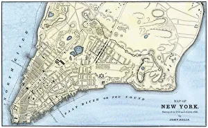
Background imageMaps Photo Mug Collection: Manhattan map, 1780s

Manhattan map, 1780s
John Hills map of New York City, surveyed in 1782, drawn in 1785. Hand-colored woodcut reproduction of an 18th-century illustration

Background imageMaps Photo Mug Collection: Manhattan map, 1789

Manhattan map, 1789
Map of the City of New York, 1789. Hand-colored woodcut reproduction of an 18th century illustration

Background imageMaps Photo Mug Collection: Manhattan in 1767

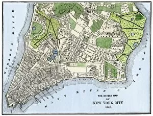
Manhattan in 1767
Ratzer map of New York City, 1767. Hand-colored woodcut reproduction of an 18th-century illustration

Background imageMaps Photo Mug Collection: Providence, Rhode Island, 1664

Providence, Rhode Island, 1664
Map of Providence, Rhode Island, in 1664, showing property of original proprietors. Hand-colored 19th-century woodcut reproduction of the document

Background imageMaps Photo Mug Collection: Colonial Pennsylvania map, 1750s

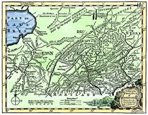
Colonial Pennsylvania map, 1750s
Map of the " Province of Pennsilvania, " 1756. Hand-colored 19th-century woodcut reproduction of an 18th-century illustration

Background imageMaps Photo Mug Collection: Ohios early land divisions

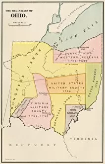
Ohios early land divisions
Land division and early settlements in Ohio Territory. Printed color lithograph of a 19th-century illustration

Background imageMaps Photo Mug Collection: New York City map, 1767

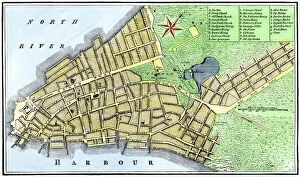
New York City map, 1767
Map of New York City in 1767. Hand-colored woodcut of an 18th-century illustration

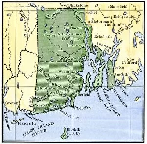
Background imageMaps Photo Mug Collection: Map of colonial Rhode Island, 1660s

Map of colonial Rhode Island, 1660s
Map of Rhode Island, showing the disputed colonial boundaries, 1660s. Hand-colored woodcut of a 19th-century illustration


All Professionally Made to Order for Quick Shipping


-

Why Choose Us?

We are a leading provider of Art Prints and Photo Gifts since 2003, working in partnership with a range of Sporting Clubs, Charities, Museums and Picture Libraries. A large share of profits from any of their images will go directly towards supporting that charity or club. Our archive of images is carefully curated to bring you a wide range of subjects, including landscapes, wildlife, architecture, and more. We ship from our partner labs in the UK, USA, EU (Netherlands) and Australia.
+

How do I place an order?

Ordering is quick & easy - Just follow 5 Simple Steps:
  1. Find your image: Use our search box or browse our online photo Collections to find the image you want.

  2. Choose your print format: Select your desired product and add it to your cart.

  3. Enter your details: If you're a returning customer, simply enter your email address and password, and we'll fill in your billing and shipping address details. All personal details are held securely and are fully GDPR compliant. As standard, we remove all Personally Identifiable Information after 12 months.

  4. Pay for your purchase: We use state-of-the-art security for online shopping and do not have access to your card details.

  5. Sit back and relax: We'll email you confirmation of your order and when it's dispatched. Registered customers can also track orders in the 'My Account' area.

+

How do I pay for an order?

You can pay for your order with most of the major credit and debit cards, or PayPal. For added security, major financial institutions process payment details separately and securely on our behalf. We do not have access to your online payment card details. Online payments are preferred however we do take phone orders. For UK customers only we accept cheques issued against a UK bank.
+

Is my data safe?

We take data security very seriously. We do not have access to your full card details and all payments are requested over a fully secure connection. Additionally, we fully comply with current European and GDPR legislation, and automatically remove all personal data after at most 12 months (unless you have an account with us and have signed in recently). We also have a strict opt-in policy and would never sell your personal details. Your data is only used to fulfill your order promptly and efficiently.
+

Is wall art ready to hang?

For quick and easy installation all wall art, including framed prints, canvas prints and metal prints are supplied with a ready to hang solution on the back. Generally, saw tooth hangers are applied as they allow wall art to hang flush against the wall. The serrated edge of the hanger prevents the frame from shifting or tilting when hung.
+

Are the photo prints fade resistant?

Yes, we use archival quality photo paper photographic paper for vivid reproduction Prints are an accurate representations of the original artwork, which is preserved for artistic character and authenticity. We guarantee they match previews shown on our web site