Home > Europe > France > Canton > Landes
1862 Perthes Map Of Bohemia And Austria Topography

![]()
Wall Art and Photo Gifts from Universal Images Group (UIG)
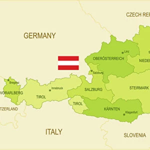
1862 Perthes Map Of Bohemia And Austria Topography
1862, Perthes Map of Bohemia and Austria
Universal Images Group (UIG) manages distribution for many leading specialist agencies worldwide
Media ID 38551628
© Artokoloro Quint Lox Limited
1862 Antique Map Latitude Longitude Mappa Mundi Old Antique Plan Old Antique View Ols Antique Map Rare Old Maps Topo
FEATURES IN THESE COLLECTIONS
> Europe
> Austria
> Related Images
> Europe
> France
> Canton
> Landes
> Historic
> Space exploration
> Maps and Charts
> Early Maps
> Maps and Charts
> Related Images
> Maps and Charts
> World
> Universal Images Group (UIG)
> History
> Historical Maps
EDITORS COMMENTS
Step back in time to the mid-19th century with this stunning print of the 1862 Perthes Map of Bohemia and Austria Topography. This beautifully illustrated map showcases the geographical landscape of Bohemia and Austria, featuring intricate details of mountains, rivers, cities, and towns. The map is a testament to the cartographic skills of its creator, Johann Friedrich August Göttling, who carefully documented every contour and feature of these regions.
The map's vintage charm is undeniable, with its ornate borders and elegant typography adding a touch of elegance to its already impressive design. The level of detail is remarkable, from the winding roads to the scattered settlements and forests that cover much of the land. This print would be a wonderful addition to any room or office space that celebrates history, geography, or travel.
Imagine being transported back in time to an era when exploration was still a new frontier and maps were hand-drawn masterpieces rather than digital renderings on screens. This beautiful piece is not only a work of art but also a window into our collective past - a reminder that even as technology advances at breakneck speed, there's beauty in slowing down and appreciating the craftsmanship that went into creating such timeless works.
MADE IN AUSTRALIA
Safe Shipping with 30 Day Money Back Guarantee
FREE PERSONALISATION*
We are proud to offer a range of customisation features including Personalised Captions, Color Filters and Picture Zoom Tools
SECURE PAYMENTS
We happily accept a wide range of payment options so you can pay for the things you need in the way that is most convenient for you
* Options may vary by product and licensing agreement. Zoomed Pictures can be adjusted in the Cart.