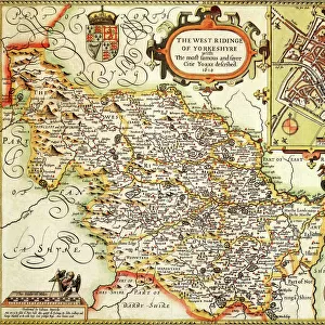
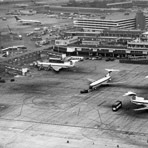
Framed Print > Europe > United Kingdom > England > London > Sights > Heathrow Airport
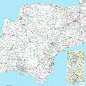
Framed Print : 100 Miles Around London Map


![]()
Framed Photos from Map Marketing
100 Miles Around London Map
A clear map covering a 100-mile radius around London. Specially produced for the commercial driver and practical motorist, designed for planning of sales and transportation within a 100-mile radius of London. Roads are colour-coded for easy use, road numbers and distances are shown in a format that is clear and easy to read. Also includes county boundaries, airports and ferry routes. The area covered is from Bristol to the East coast and from Stoke-on-Trent to the South coast
Media ID 19949535
© Map Marketing Ltd
13.5"x11.5" (34x29cm) Premium Frame
Framed and mounted 9x7 print. Professionally handmade full timber moulded frames are finished off with framers tape and come with a hanging solution on the back. Outer dimensions are 13.5x11.5 inches (34x29cm). Quality timber frame frame moulding (20mm wide and 30mm deep) with frame colours in your choice of black, white, or raw oak and a choice of black or white card mounts. Frames have a perspex front providing a virtually unbreakable glass-like finish which is easily cleaned with a damp cloth.
Contemporary Framed and Mounted Prints - Professionally Made and Ready to Hang
Estimated Image Size (if not cropped) is 21.4cm x 21.4cm (8.4" x 8.4")
Estimated Product Size is 34cm x 29.2cm (13.4" x 11.5")
These are individually made so all sizes are approximate
Artwork printed orientated as per the preview above, with landscape (horizontal) or portrait (vertical) orientation to match the source image.
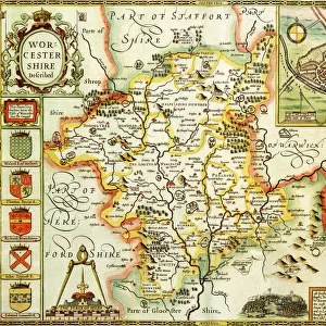
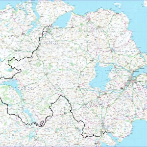
FEATURES IN THESE COLLECTIONS
> Europe
> United Kingdom
> England
> Bristol
> Bristol
> Europe
> United Kingdom
> England
> London
> Sights
> Heathrow Airport
> Europe
> United Kingdom
> England
> Maps
> Europe
> United Kingdom
> England
> Stoke-on-Trent
> Maps and Charts
> Related Images
MADE IN AUSTRALIA
Safe Shipping with 30 Day Money Back Guarantee
FREE PERSONALISATION*
We are proud to offer a range of customisation features including Personalised Captions, Color Filters and Picture Zoom Tools
SECURE PAYMENTS
We happily accept a wide range of payment options so you can pay for the things you need in the way that is most convenient for you
* Options may vary by product and licensing agreement. Zoomed Pictures can be adjusted in the Cart.