Fraud Blocker Skip to main content

Satellite Image Collection (page 15)

"Exploring the vastness of our universe, satellite images capture breathtaking views that redefine our perspective

Background imageSatellite Image Collection: Chile and Argentina, satellite image

Chile and Argentina, satellite image. North is at top. Chile is a long country which occupies the strip of land between the Pacific coast and the Andes mountains in the west of South America
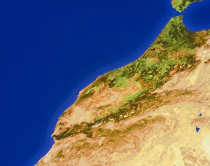
Background imageSatellite Image Collection: Morocco

Morocco. True-colour satellite image of Morocco. North is at top. Water is blue, vegetation is green and bare ground is brown

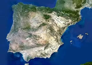
Background imageSatellite Image Collection: Portugal and Spain

Portugal and Spain. Satellite image of the Iberian Peninsula, consisting of the European countries of Portugal and Spain. North is at top

Background imageSatellite Image Collection: Earth in a jar, conceptual image

Earth in a jar, conceptual image

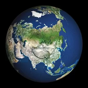
Background imageSatellite Image Collection: Earth

Earth. Satellite image of the Earth, centred on Asia. The North Pole is at upper centre. Water is blue, vegetation is green, arid areas are brown, and snow and ice are white

Background imageSatellite Image Collection: Scandinavia

Scandinavia, true-colour satellite image. North is at top. Water is blue, snow and ice are white, and vegetation is green

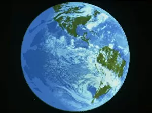
Background imageSatellite Image Collection: Infrared satellite image of the Americas

Infrared satellite image of the Americas
The Americas. Infrared satellite image showing the Americas and the Pacific Ocean. The Americas contain the continents of North America and South America with Central America in between

Background imageSatellite Image Collection: Three planet earths, conceptual image

Three planet earths, conceptual image
Three planet earths, conceptual composite image. Three is the number of planets that will be needed if the current world population continues at its present rate of consumption of resources

Background imageSatellite Image Collection: New Zealand, satellite image

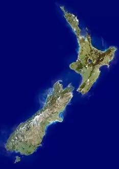
New Zealand, satellite image. North is at top. New Zealand is a country in the southwest Pacific Ocean. It consists of two islands known as the North Island and the South Island

Background imageSatellite Image Collection: Egypt, satellite image

Egypt, satellite image. North is at top. Egypt is the most northeastern country in Africa. It borders Libya to the west, Sudan to the south and Israel and the Gaza Strip to the northeast (all shaded)

Background imageSatellite Image Collection: Western Asia, satellite image

Western Asia, satellite image
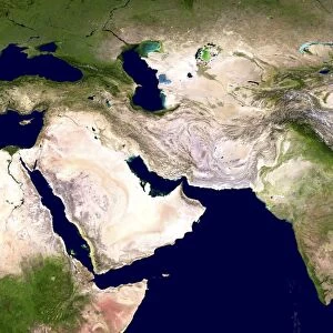
Western Asia, true-colour satellite image. North is at top. The region is dominated by deserts (brown). Bodies of water include the Red Sea (lower left) and Persian Gulf (centre)

Background imageSatellite Image Collection: Earth

Earth. Computer artwork, based on satellite data of the Earth from space. North is at top. Green shows vegetated areas. Yellow shows desert areas. The image is centred on Australasia

Background imageSatellite Image Collection: Belgium by night, satellite image

Belgium by night, satellite image
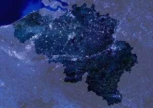
Belgium at night, satellite image. North is at top. Bright areas indicate heavily populated areas with a greater intensity of light emissions

Background imageSatellite Image Collection: Earth

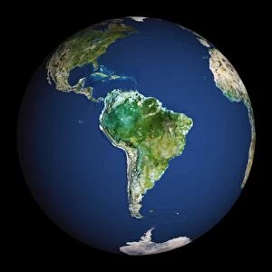
Earth. Satellite image of the Earth, centred on South America. North is at top. Water is blue, vegetation is green, arid areas are brown, and snow and ice are white

Background imageSatellite Image Collection: New Zealand

New Zealand, coloured satellite image. North is at top. Water is blue, vegetation is green, mountainous areas are brown and snow is white

Background imageSatellite Image Collection: South America, satellite image

South America, satellite image
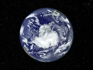
Antarctica. Satellite image of the Earth, set against a background of stars, centred on the Antarctic. The South Pole is at centre. Clouds (white) are seen in the atmosphere

Background imageSatellite Image Collection: Northern Germany

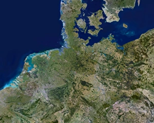
Northern Germany. Satellite image of northern Europe, centred on northern Germany. North is at top. Green colours show different vegetation, from fields to forests. Grey colours show urban areas

Background imageSatellite Image Collection: Earth with starfield

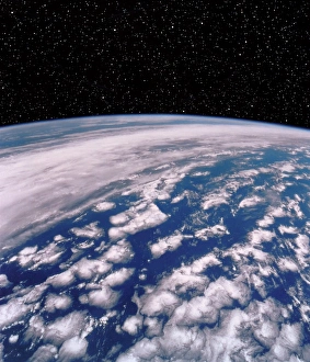
Earth with starfield. Computer artwork of a starfield over a satellite image of the limb of the Earth

Background imageSatellite Image Collection: Great Britain and Ireland

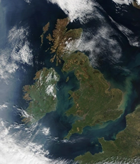
Great Britain and Ireland, satellite image. At centre right, silt is seen flowing north from the Thames Estuary towards the North Sea. France is seen at lower right

Background imageSatellite Image Collection: Benelux countries

Benelux countries, satellite image. North is at top. The Benelux Economic Union was established in 1958 in order to promote trade between the three member nations

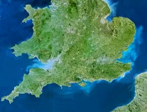
Background imageSatellite Image Collection: Southern United Kingdom

Southern United Kingdom (UK). Satellite image of the southern part of the UK. North is at top. This view is about 560 kilometres across

Background imageSatellite Image Collection: The Netherlands, satellite image

The Netherlands, satellite image
Benelux coutries, satellite image. North is at top. The Benelux Economic Union was established in 1958 in order to promote trade between the three member nations

Background imageSatellite Image Collection: Satellite picture of the world at night

Satellite picture of the world at night
Satellite image of the world at night. The white areas correspond to city lights, thus providing an accurate indicator of urbanisation from region to region

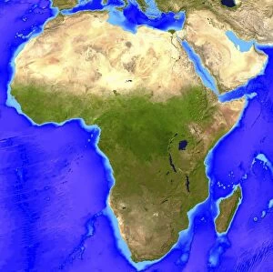
Background imageSatellite Image Collection: Africa

Africa. Computer artwork, based on a satellite image, of Africa. North is at top. Water is blue, vegetation is green and desert is yellow

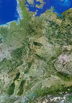
Background imageSatellite Image Collection: Germany, satellite image

Germany, satellite image
Germany. Satellite image of the European country of Germany and the surrounding area. North is at top. Water is blue, vegetation is green, urban areas are grey, dry areas are brown

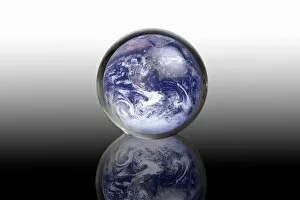
Background imageSatellite Image Collection: Earth in a crystal ball, conceptual image

Earth in a crystal ball, conceptual image

Background imageSatellite Image Collection: Southeast Asia, satellite image

Southeast Asia, satellite image. North is at top. Southeast Asia is a sub region of Asia, lying south of China and east of India

Background imageSatellite Image Collection: Middle East, satellite image

Middle East, satellite image
Middle East, satellite photograph. North is at top. The Middle East subcontinent is the cultural and geographical region of countries that occupy the divide between Eurasia and North Africa

Background imageSatellite Image Collection: Denmark, satellite image

Denmark, satellite image. North is at top. Denmark is located in northern Europe. Its only land border is with Germany in the south (shaded). Mainland Denmark is known as Jutland

Background imageSatellite Image Collection: Shiveluch Volcano, satellite image

Shiveluch Volcano, satellite image. Plumes of ash and smoke erupt from Shiveluch Volcano, Kamchatka Peninsula in Russia. Photographed by the NASA Earth Observatory EO-1 satellite on 7th September 2010

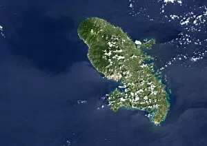
Background imageSatellite Image Collection: Martinique volcano, satellite image

Martinique volcano, satellite image
Mount Pelee, Martinique, satellite image. North is at top. Mount Pelee (centre, on the north side of the bay) is the only active volcano on the Caribbean island of Martinique

Background imageSatellite Image Collection: Santorini volcano, satellite image

Santorini volcano, satellite image
Santorini volcano, Greece, satellite image. North is at top. The sea-filled caldera (lower right) shows where a massive volcanic eruption some 3500 years ago destroyed most of the island of Santorini

Background imageSatellite Image Collection: Snow on Mount Kilimanjaro, 2000

Snow on Mount Kilimanjaro, 2000
Snow on Mount Kilimanjaro in 2000, satellite image. The snow and ice on Kilimanjaro, in Tanzania, has been receding in recent years

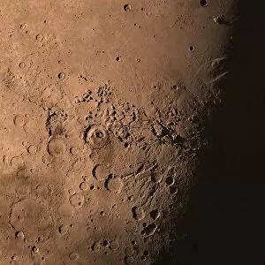
Background imageSatellite Image Collection: Marss Gale Crater from space

Marss Gale Crater from space
NASAs next Mars rover, the Curiosity Rover, will land at the foot of a layered mountain inside the planets Gale Crater, caused by an asteroid impact millions of years ago

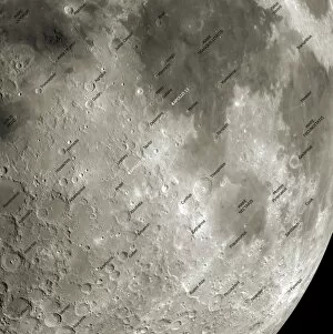
Background imageSatellite Image Collection: The Moon from space, artwork

The Moon from space, artwork
The Moon from space. Annotated artwork of the surface of the moon based on data obtained by unmanned US space probes. The Ptolemaeus crater can be seen at far left

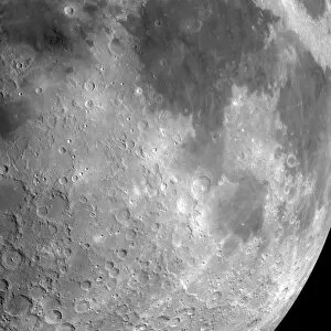
Background imageSatellite Image Collection: The Moon from space, artwork

The Moon from space, artwork
The Moon from space. Artwork of the surface of the moon based on data obtained by unmanned US space probes. The Ptolemaeus crater can be seen at far left

Background imageSatellite Image Collection: Lunar map

Lunar map. Map showing the near and far side of the Moon based on data obtained by unmanned US space probes that orbited the Moon in the early 21st Century

Background imageSatellite Image Collection: Spider crater, Australia, satellite image

Spider crater, Australia, satellite image
Spider Crater, satellite image. This crater (centre left), in Western Australia, is estimated to have been formed between 900 and 600 million years ago. Vegetation is green and bare rock is red

Background imageSatellite Image Collection: Serra da Cangalha crater, Brazil

Serra da Cangalha crater, Brazil
Serra da Cangalha crater, satellite image. This impact crater, in Tocantins, Brazil, was formed 220 million years ago. It has a diameter of 12 kilometres. Vegetation is green, bare ground is purple

Background imageSatellite Image Collection: France-Italy border at night, ISS image

France-Italy border at night, ISS image. Image taken by astronauts aboard the International Space Station (ISS) of the border between France and Italy. North is centre bottom

Background imageSatellite Image Collection: Nicholson crater, Canada, satellite image

Nicholson crater, Canada, satellite image
Nicholson crater, satellite image. This crater, in the Northwest Territories, Canada, was formed by a meteorite impact 400 million years ago. Water is dark blue, ice is light blue

Background imageSatellite Image Collection: Tenoumer Crater, satellite image

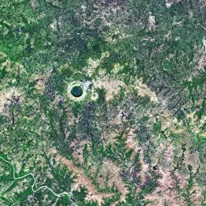
Tenoumer Crater, satellite image. This impact crater is in Mauritania in the Sahara Desert. It is 1.9 kilometres in diameter and has a rim 110 metres high

Background imageSatellite Image Collection: Lonar Crater lake, India, satellite image

Lonar Crater lake, India, satellite image
Lonar Crater lake, India, Satellite image. The basin for this saltwater lake was formed by a meteorite impact roughly 50, 000 years ago. The crater is 1.8 kilometres in diameter and 137 metres deep

Background imageSatellite Image Collection: Barringer Crater, Arizona

Barringer Crater, Arizona
Barringer Crater, also known as Meteor Crater, Arizona, USA. The crater is about 170 metres deep and 1200 metres in diameter

Background imageSatellite Image Collection: Antarctic ozone hole, 2009

Antarctic ozone hole, 2009
Antarctic ozone hole. Satellite image of the ozone hole (blue) over Antarctica (centre) on 10th September 2009. Ozone layer thicknesses are colour coded from purple (lowest) through blue

Background imageSatellite Image Collection: San Francisco earthquake risk forecast

San Francisco earthquake risk forecast. Satellite image of California, USA, showing earthquake faults (red lines) and synthetic aperture radar patterns of seismic deformations resulting from a model

Background imageSatellite Image Collection: Lake Yanisyarvi, satellite image

Lake Yanisyarvi, satellite image
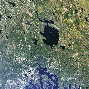
Lake Yanisyarvi, Republic of Karelia, Russia. The basin for this lake was formed by a meteorite impact 700 million years ago. It measures 14 kilometres in diameter

Background imageSatellite Image Collection: Nordlinger Ries Crater, Germany

Nordlinger Ries Crater, Germany
Nordlinger Ries Crater, satellite image. The crater, whose perimeter is shown in orange, is located in Bravaria, Germany. The city of Nordlinger is located within the crater


All Professionally Made to Order for Quick Shipping

"Exploring the vastness of our universe, satellite images capture breathtaking views that redefine our perspective. Inspired by Voyager 1's iconic 'Pale Blue Dot' image, we witness the beauty and fragility of Earth from space. From the British Isles to Europe at night, these satellite images reveal a tapestry of lights illuminating cities and towns across continents. Marvel at the mesmerizing glow as darkness blankets Europe or gaze in awe at the captivating sight of our entire planet aglow during nighttime. Delve into Tenerife's intricate landscapes, where satellite imagery unveils its hidden wonders with stunning clarity. Venturing beyond our home planet, New Horizons grants us an extraordinary glimpse into Jupiter and its moon Io – a celestial dance frozen in time. Witnessing Earth from afar reminds us of its remarkable diversity; behold Scotland's rugged terrain captured through a lens high above. Satellite imagery also unravels nature's grandeur: observe awe-inspiring solar prominences erupting from the sun’s surface like fiery tendrils reaching towards infinity. In January 2010, witness Mother Nature transforming the United Kingdom into a winter wonderland as snow blankets every corner. Finally, explore North America at night through satellite lenses – an ethereal spectacle showcasing bustling metropolises intertwined with serene natural landscapes under starlit skies. " Note.